| |
|
|
|
|
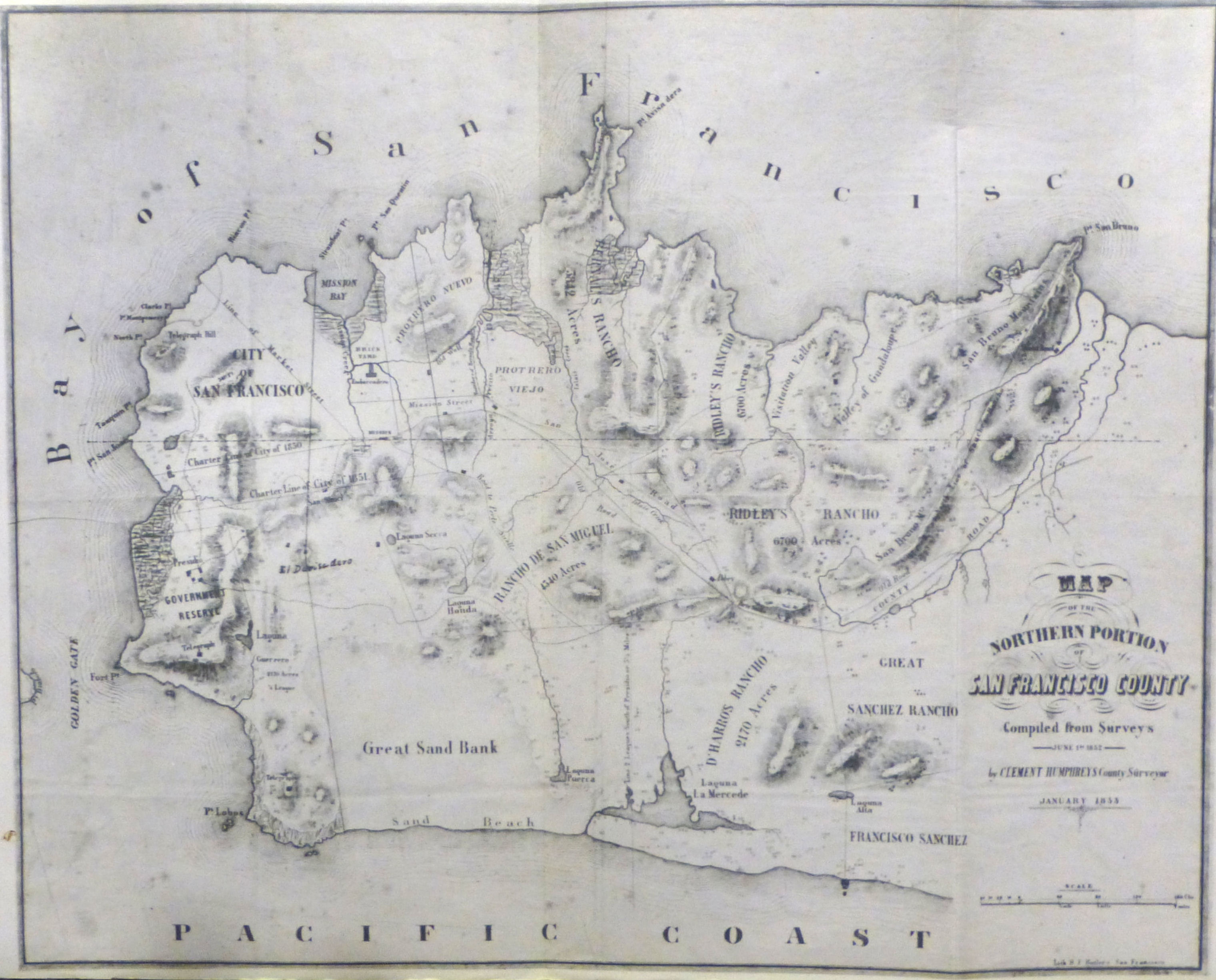
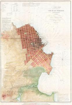
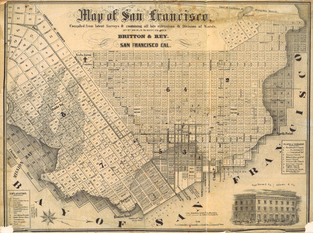
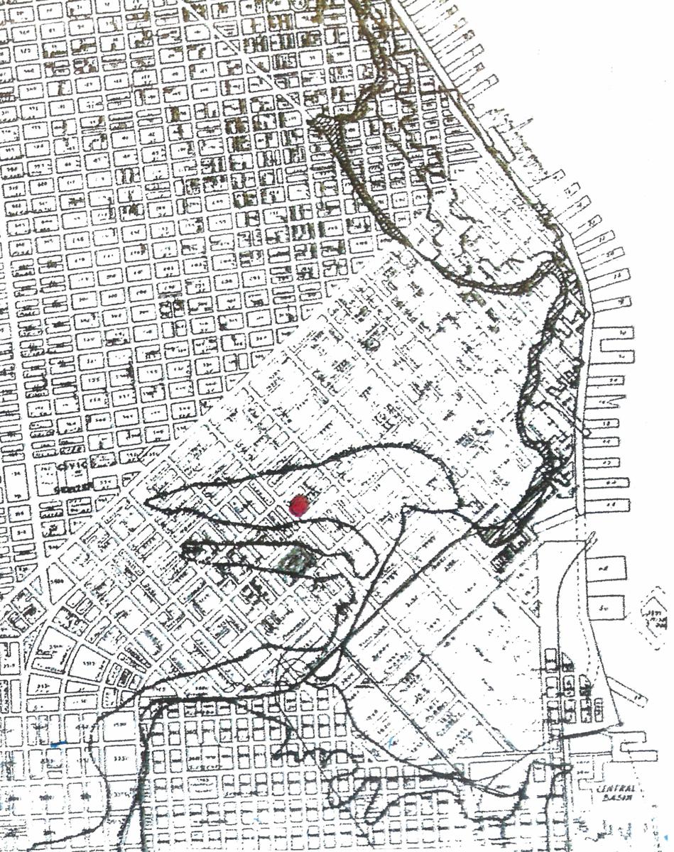
| San Francisco Peninsula, 1851 | Coast Survey of Mission Bay, USCS 1852-1853 |
 |
 |
 |
 |
|
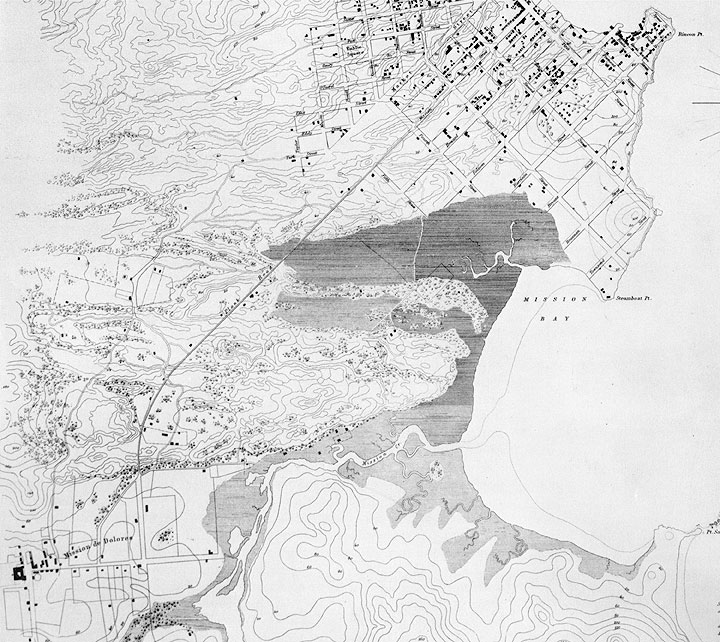
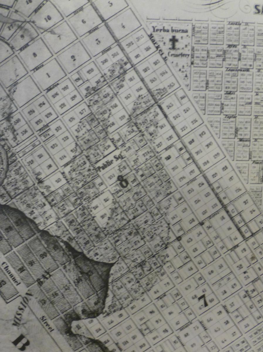
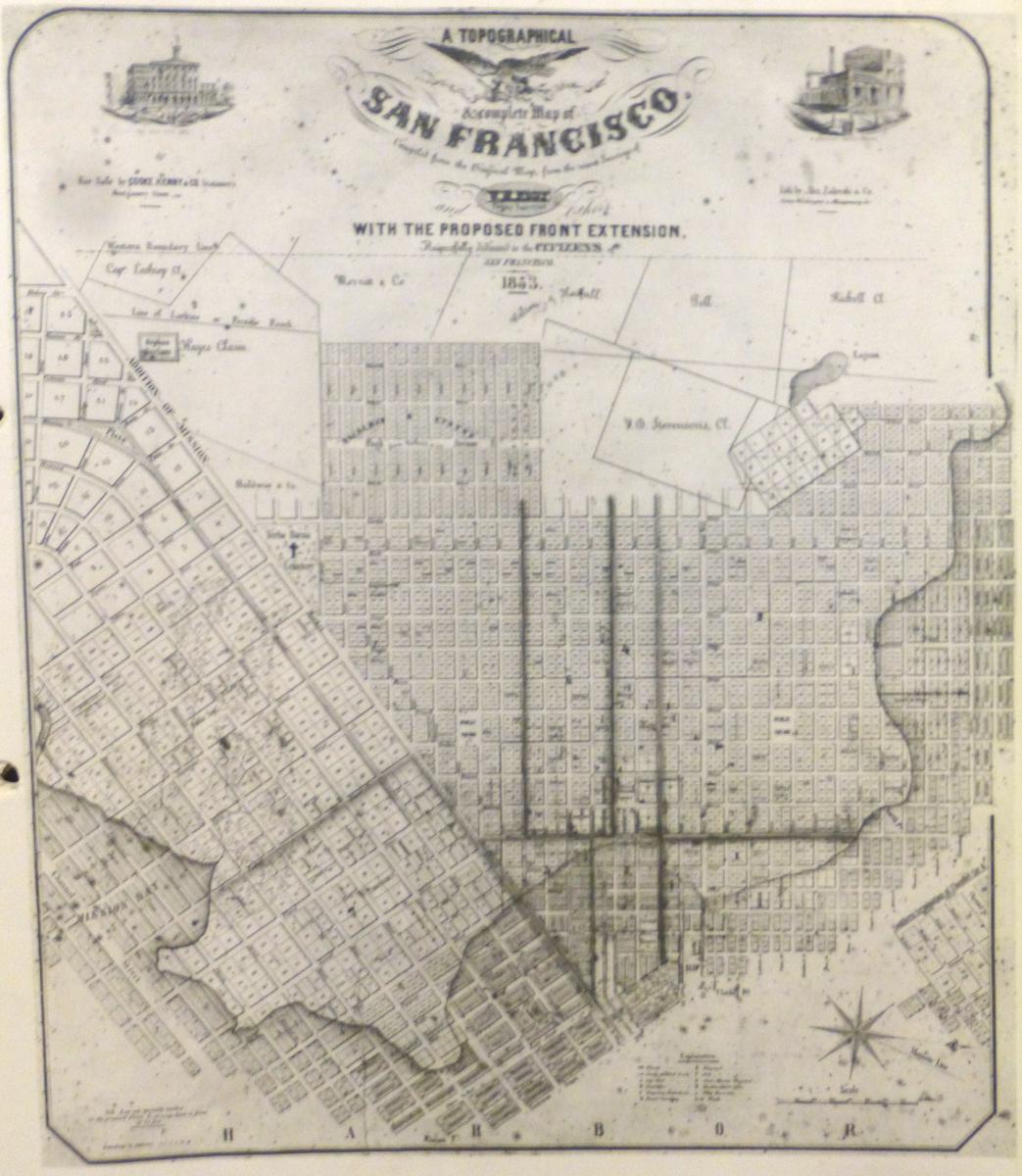
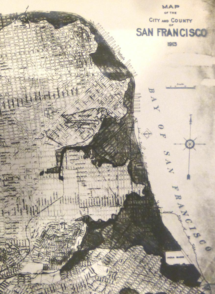
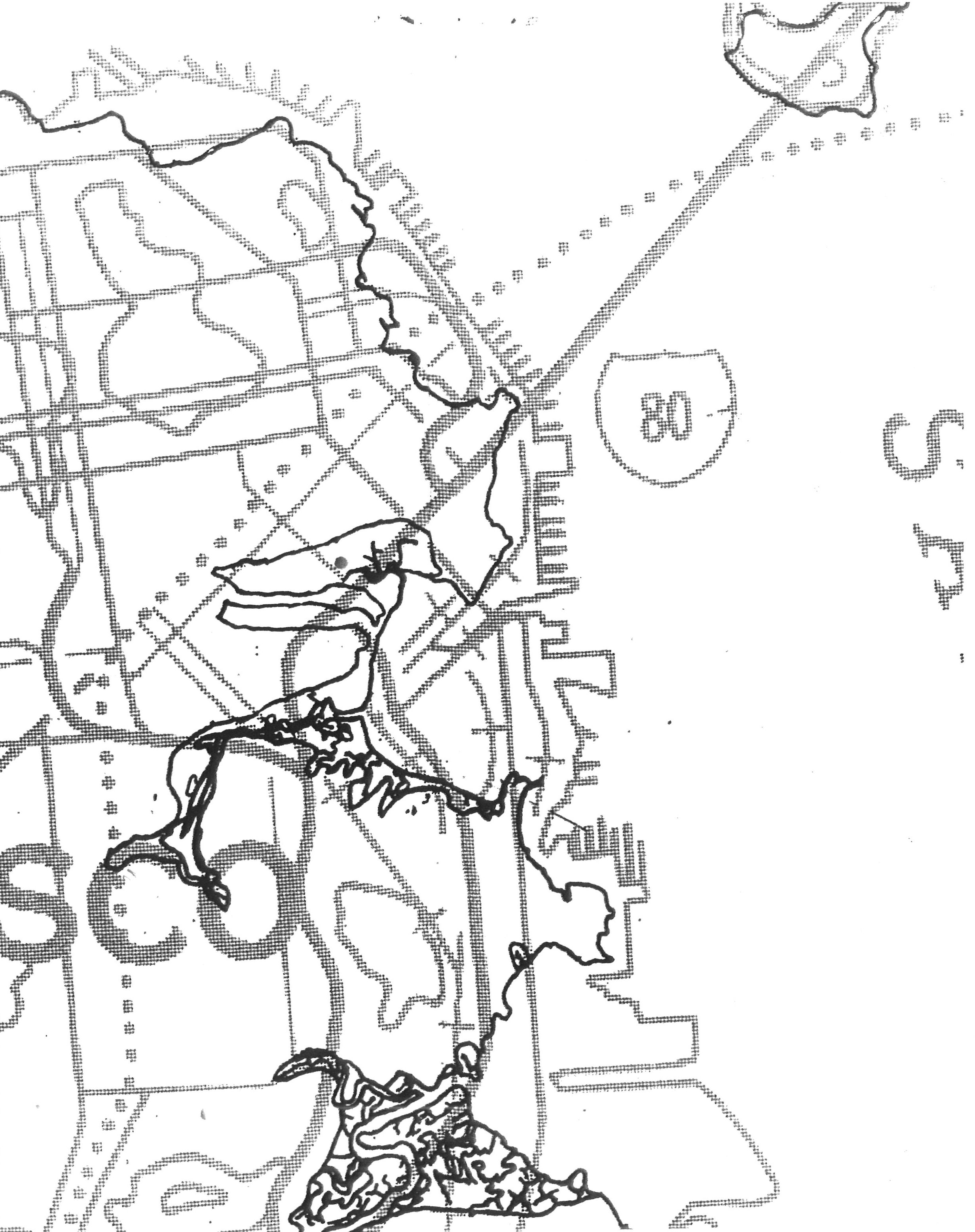
| Filled Areas of San Francisco & Mission Bay, 1852 | Filled Areas (Detail), 1852 | Proposed Land Extensions, 1853 | Filled Areas (SF East), 1913 |
 |
 |
 |
  |
|
||
| |
Original Coastline (Nichols 1971) |
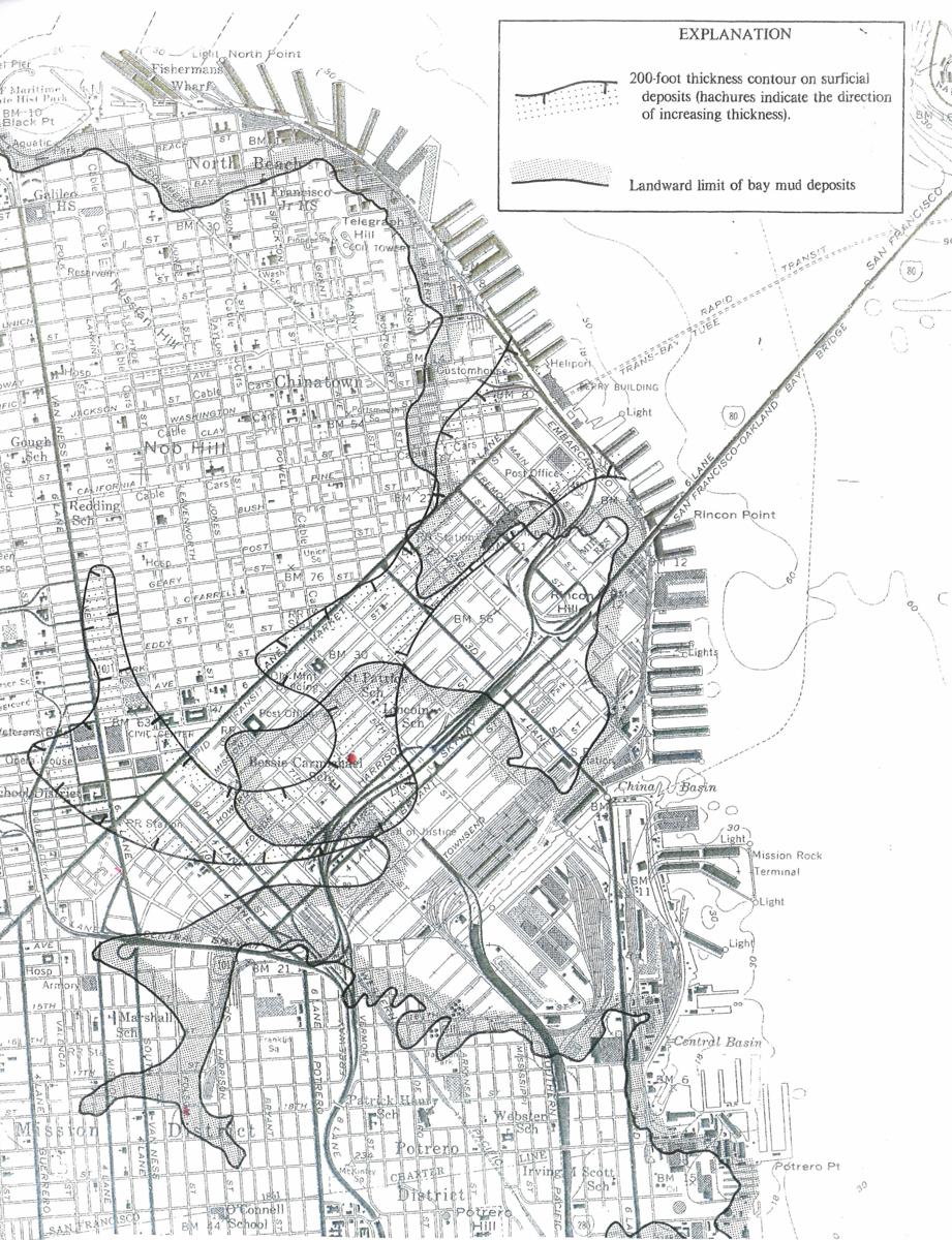
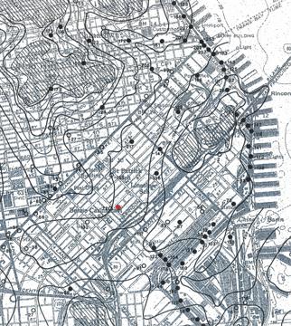
Bay Mud Contours (Joyner 1982) |
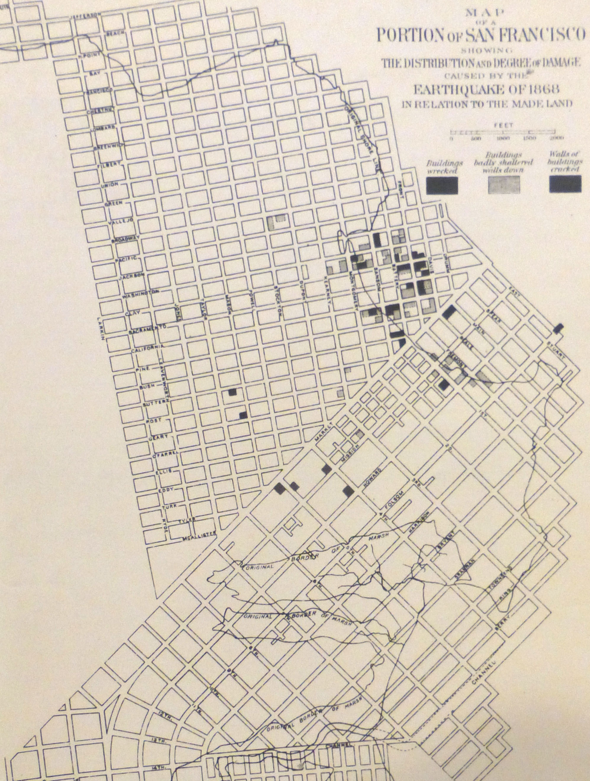
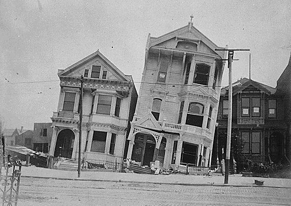
Earthquake Damages (EIC 1868) |
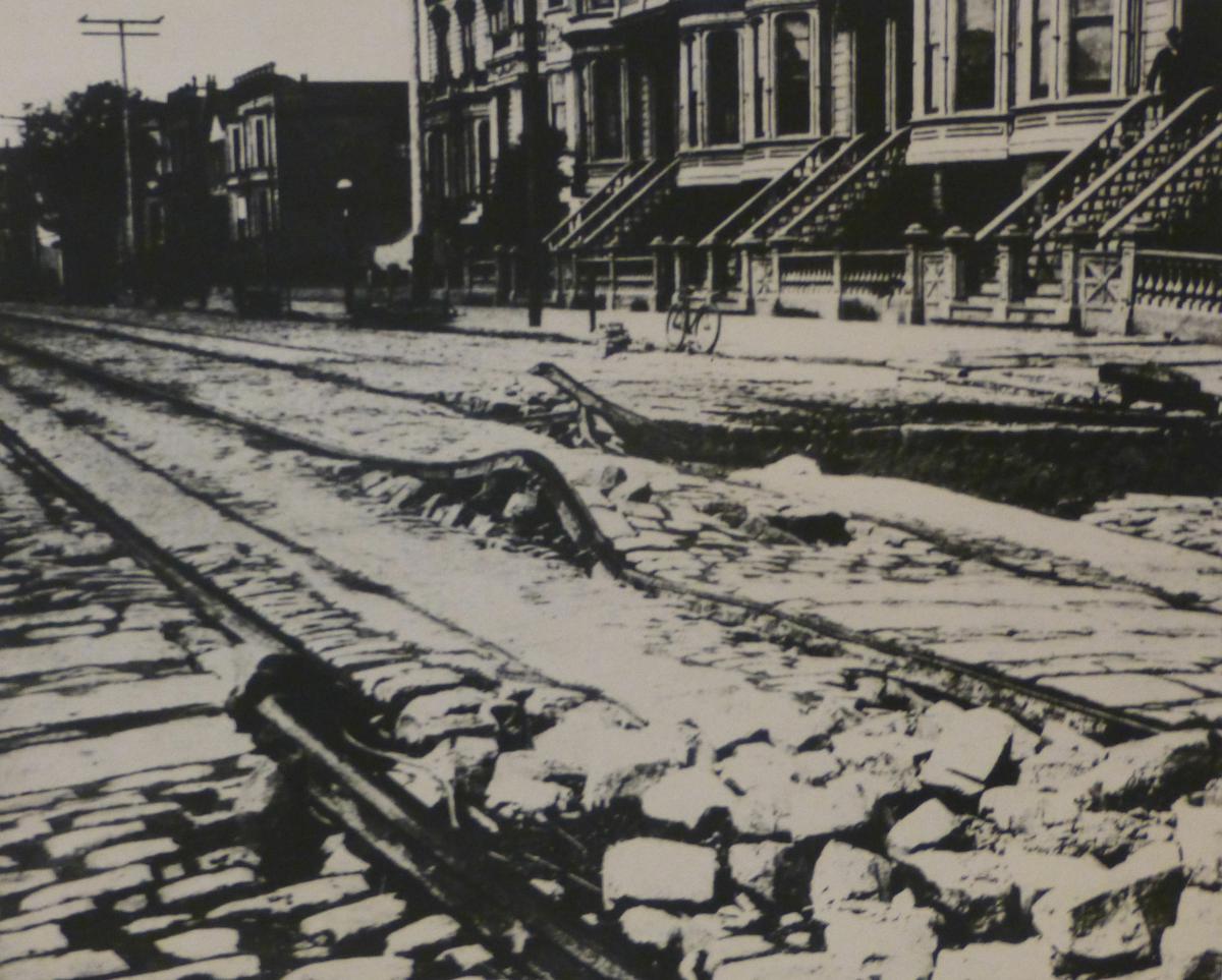
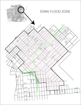
Liquefaction Damages, SoMa 1906 |
 |
 |
 |
 |
|
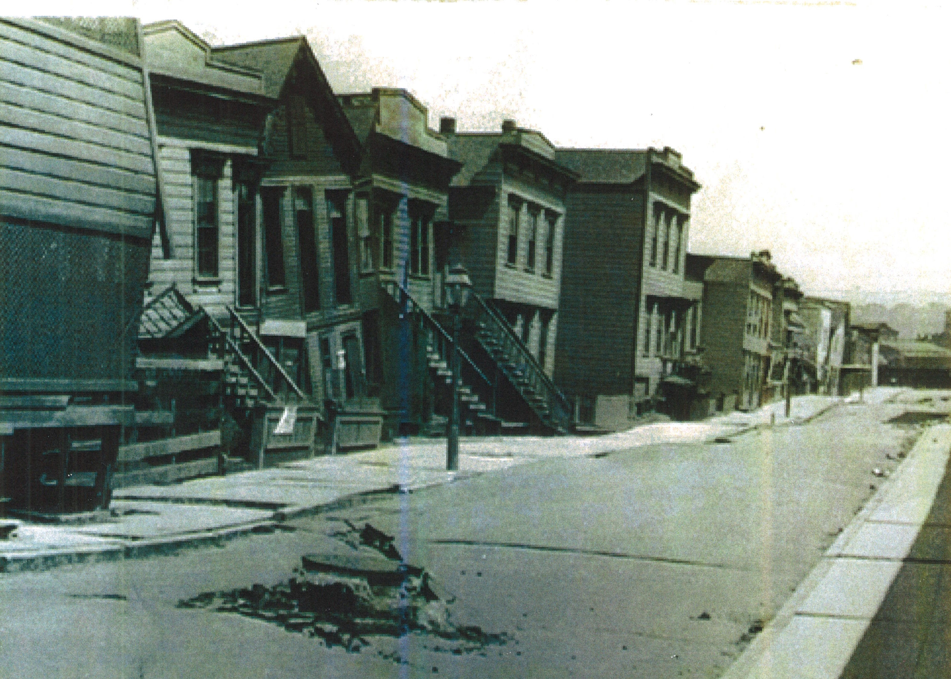
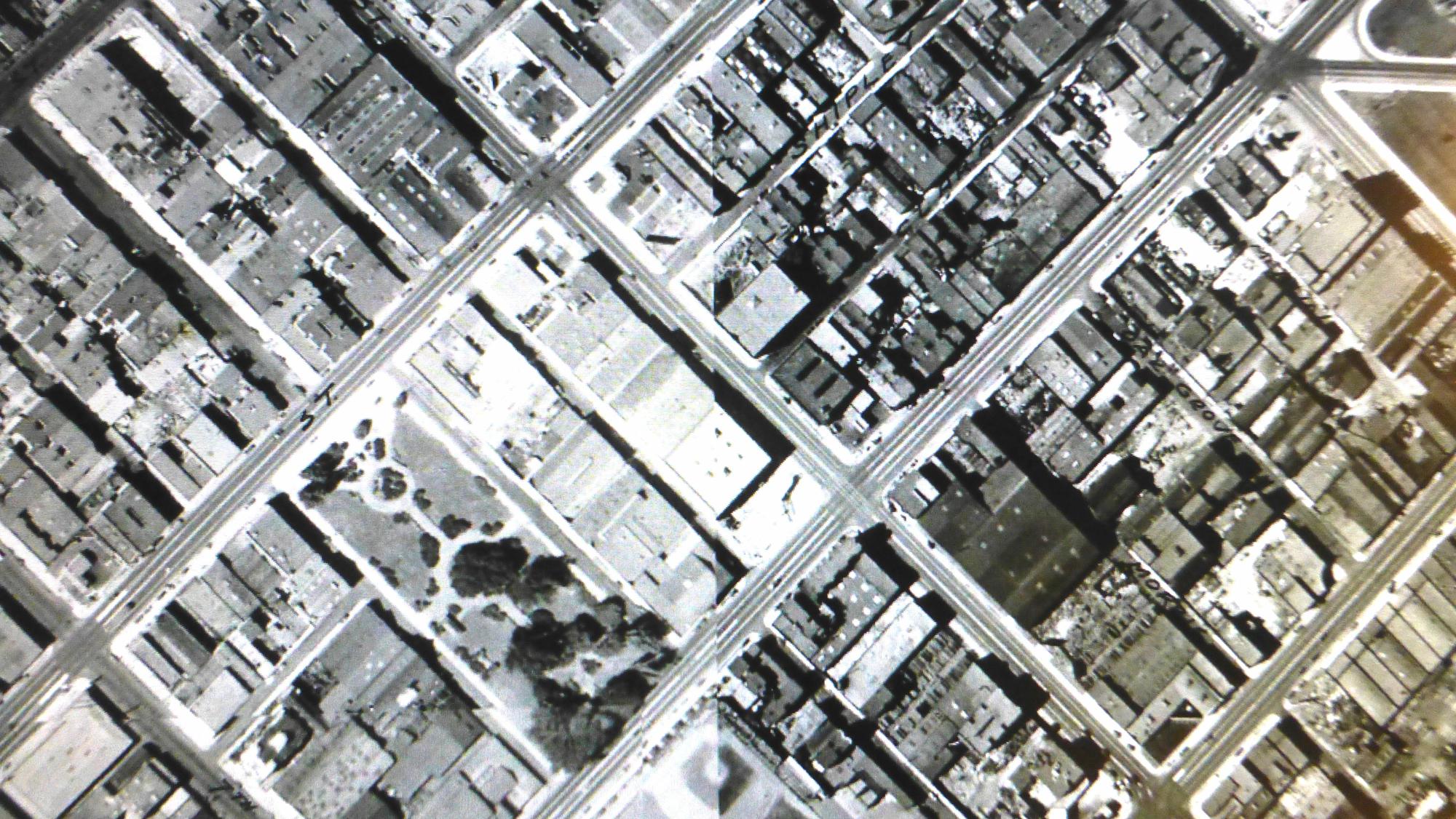
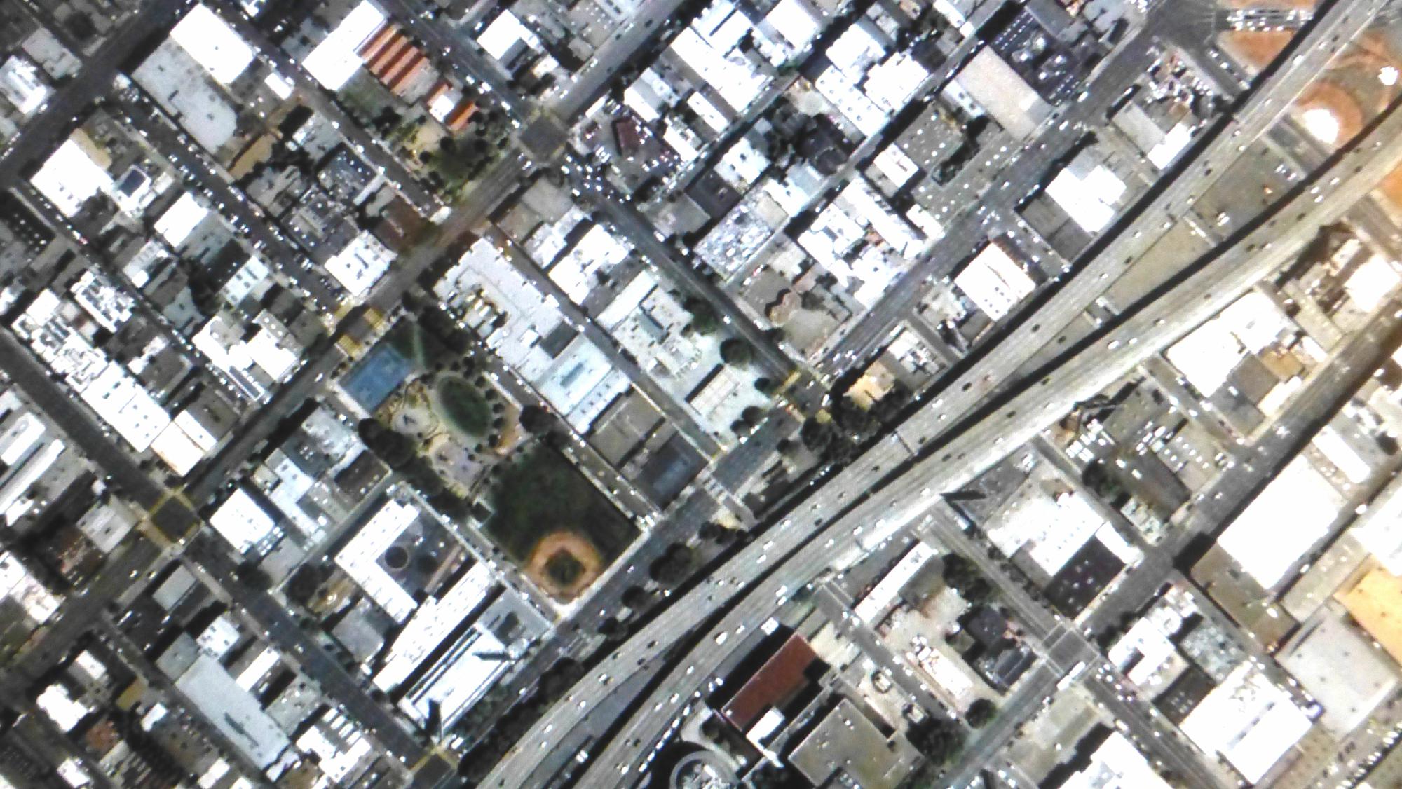
| Liquefaction Damages (Foundation Failure), SoMa 1906 | Aerial, SoMa East Neighborhood, 1938 | Aerial, SoMa East Neighborhood, 2013 | Maher Map, 2013 |
 |
 |
 |
 |
 |
|
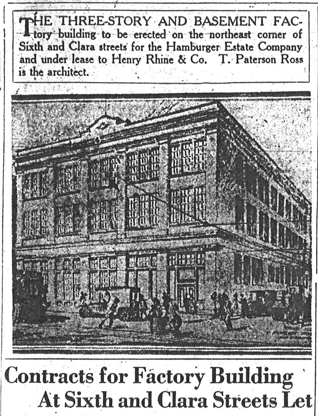
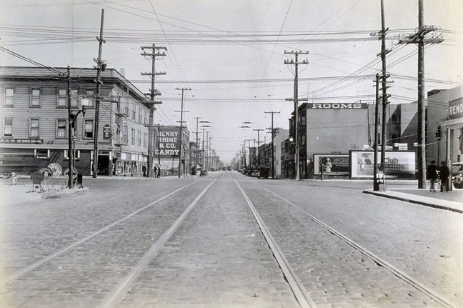
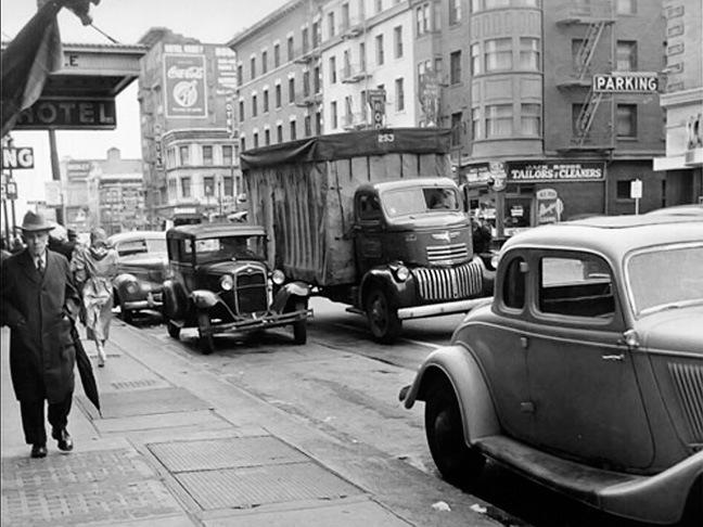
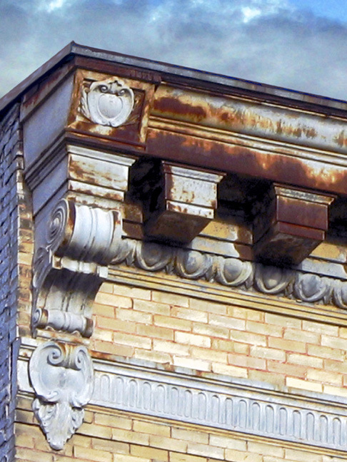
| Architect, 1920 | 6th & Folsom, looking SE,
Rhine Candy L of tracks, 1926 |
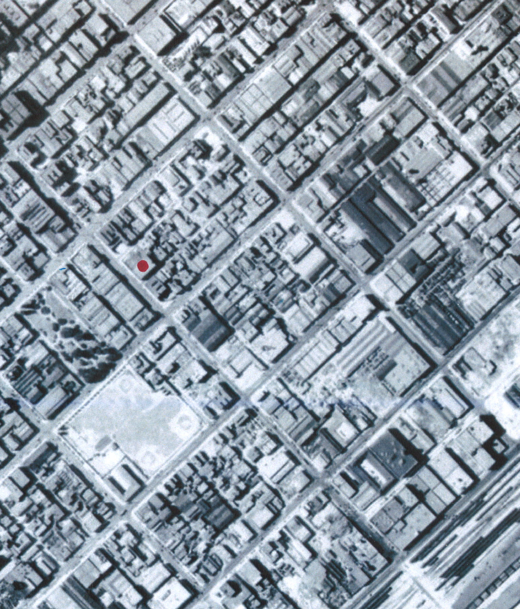
Fairchaild Aerial, 1931 |
Original Shoreline (ASCE 1932) | Street Map, 1976 |
 |
 |
 |
 |
|
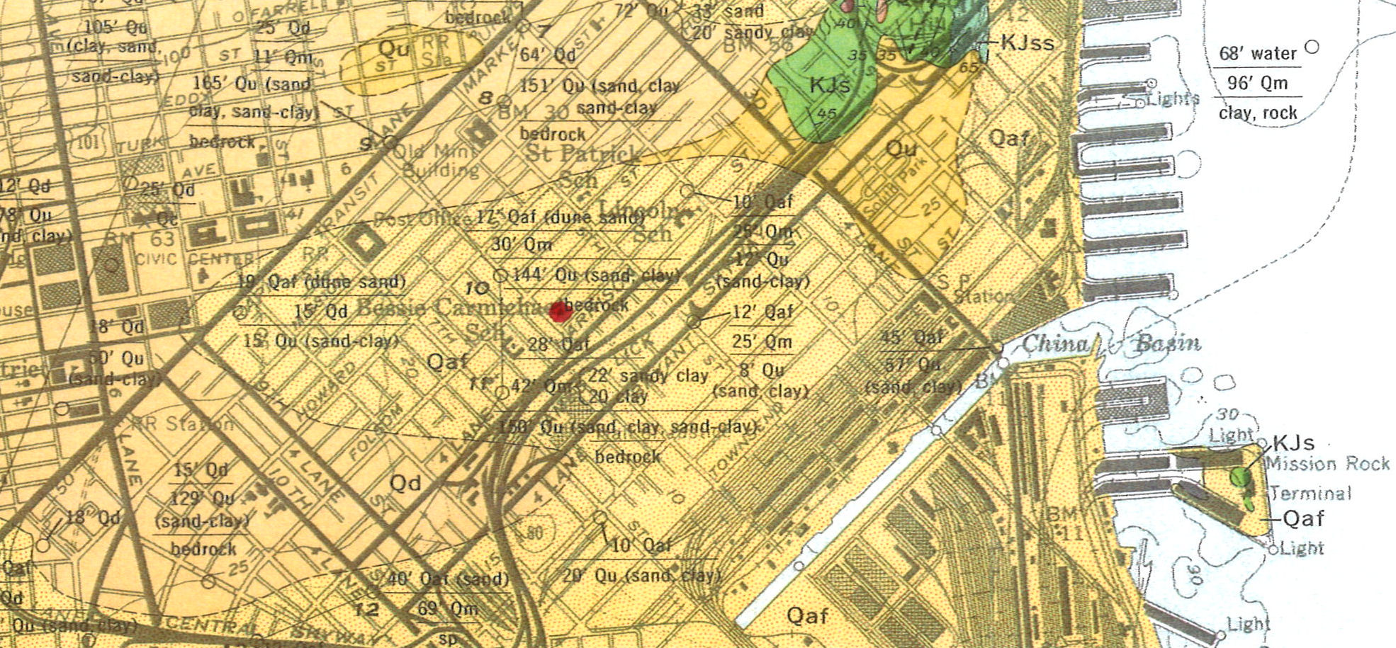
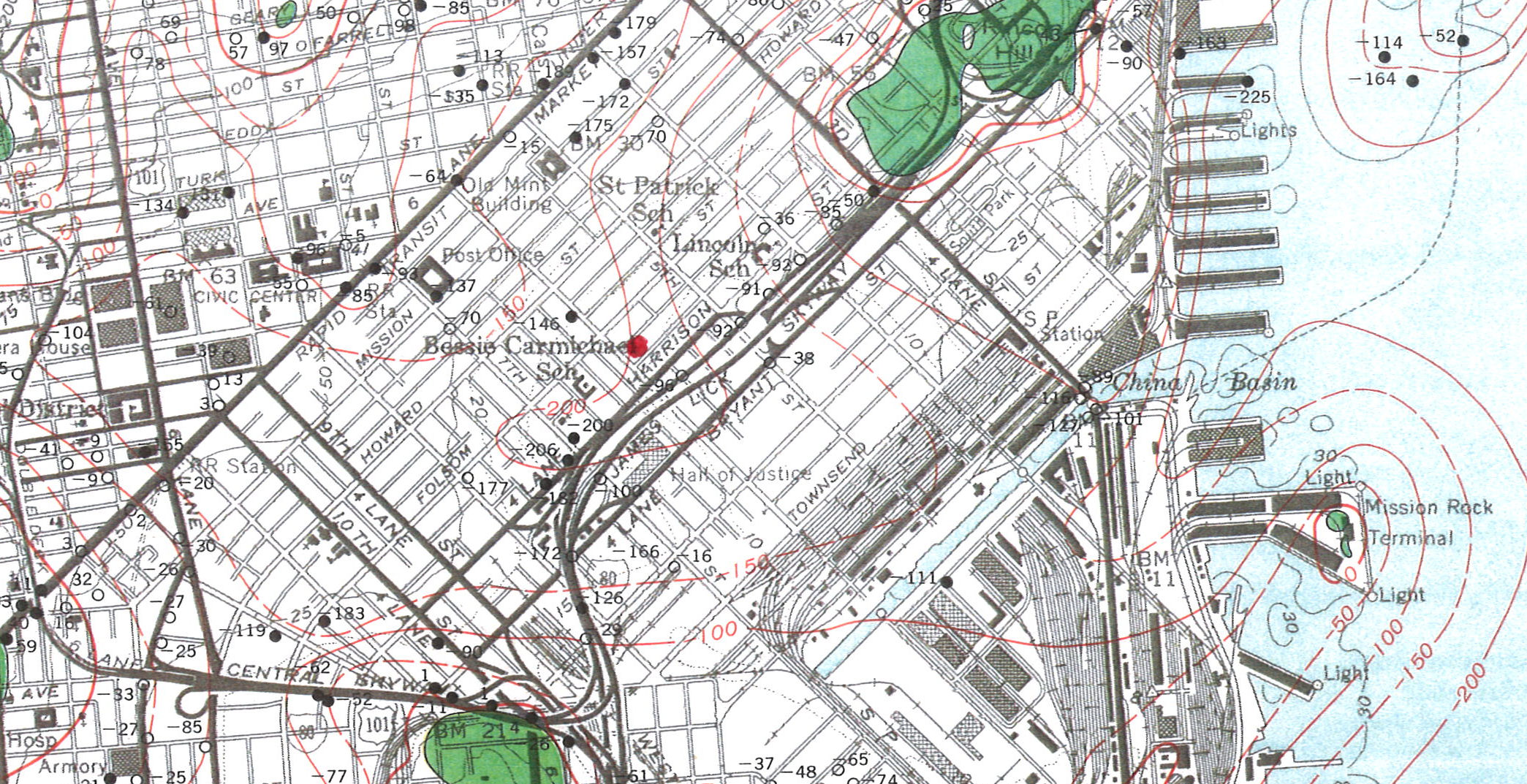
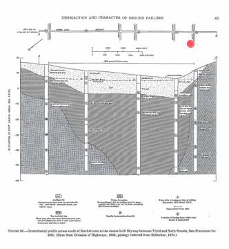
| Geology: Mission Swamp (Schlocker 1974) | Bedrock Contrours (DeLisle 1973) | Bedrock Contrours (Schlocker 1974) | Seismic Hazards (CA 2000) |
   |
||||
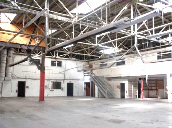
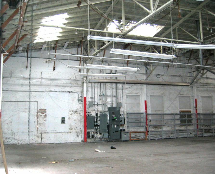
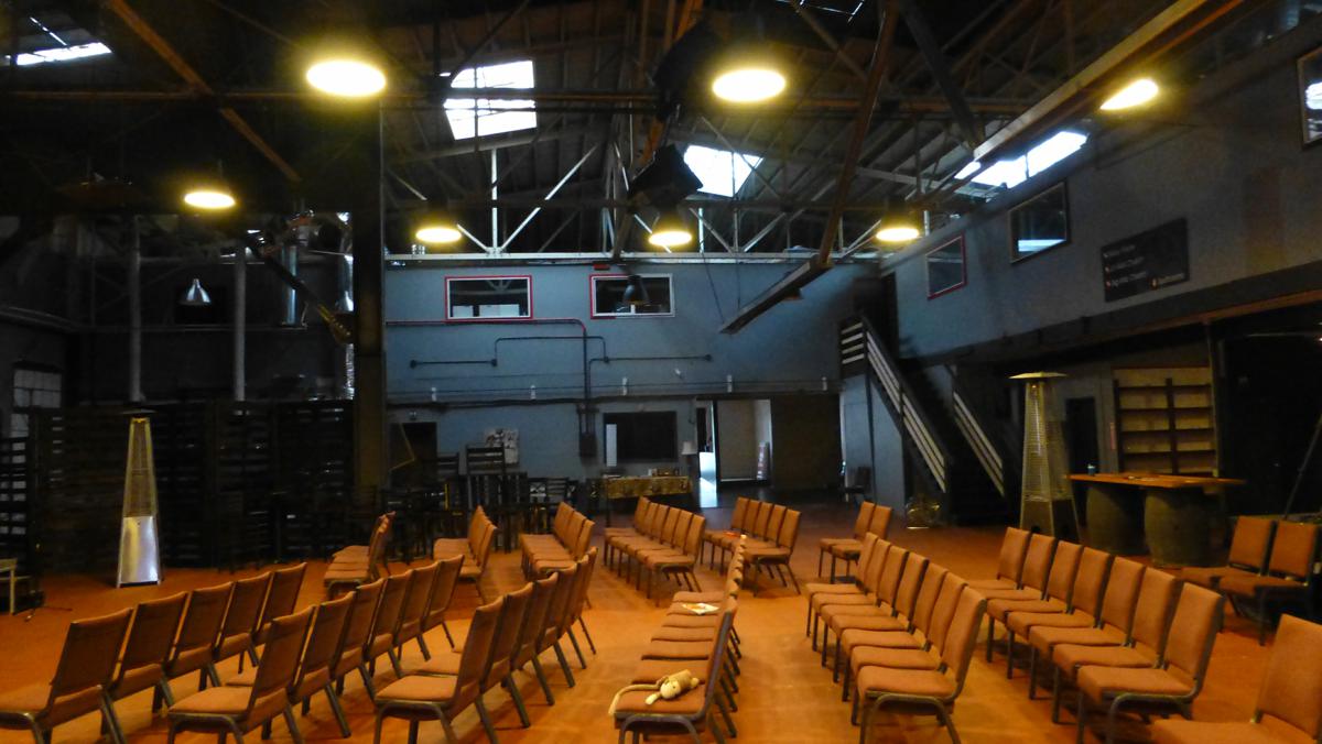
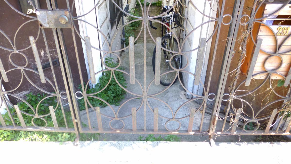
| 351-367 6th Street, Interior (Warehouse then Church), 2010-2013 |
 |
 |
 |
|
|
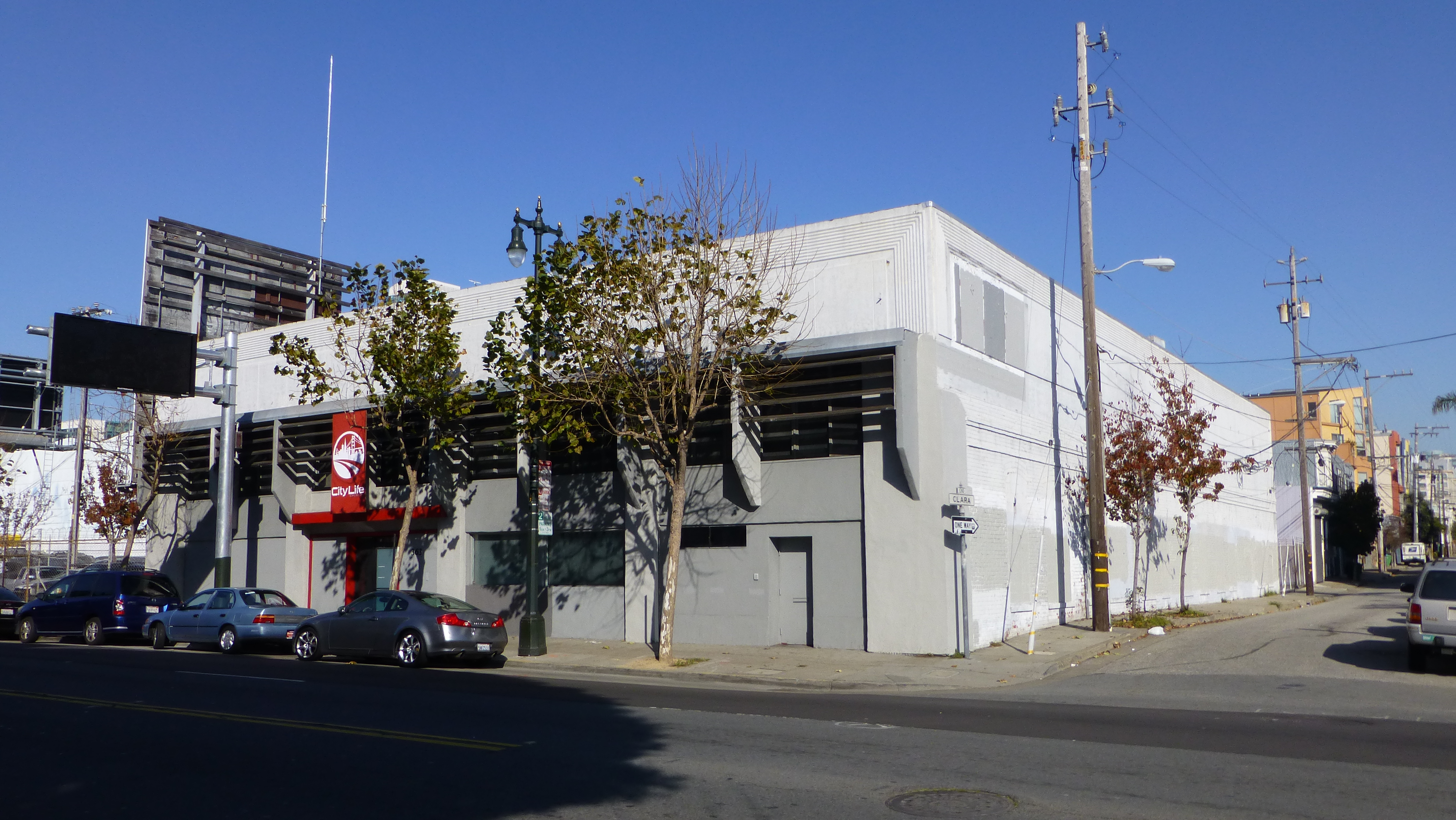
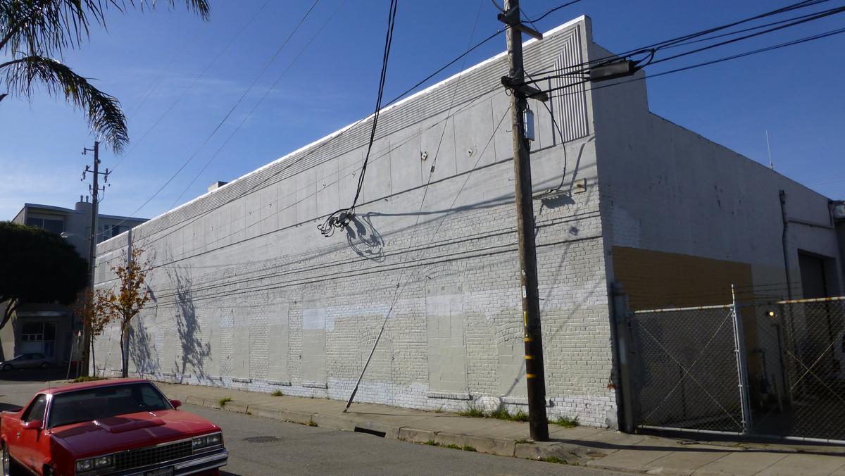
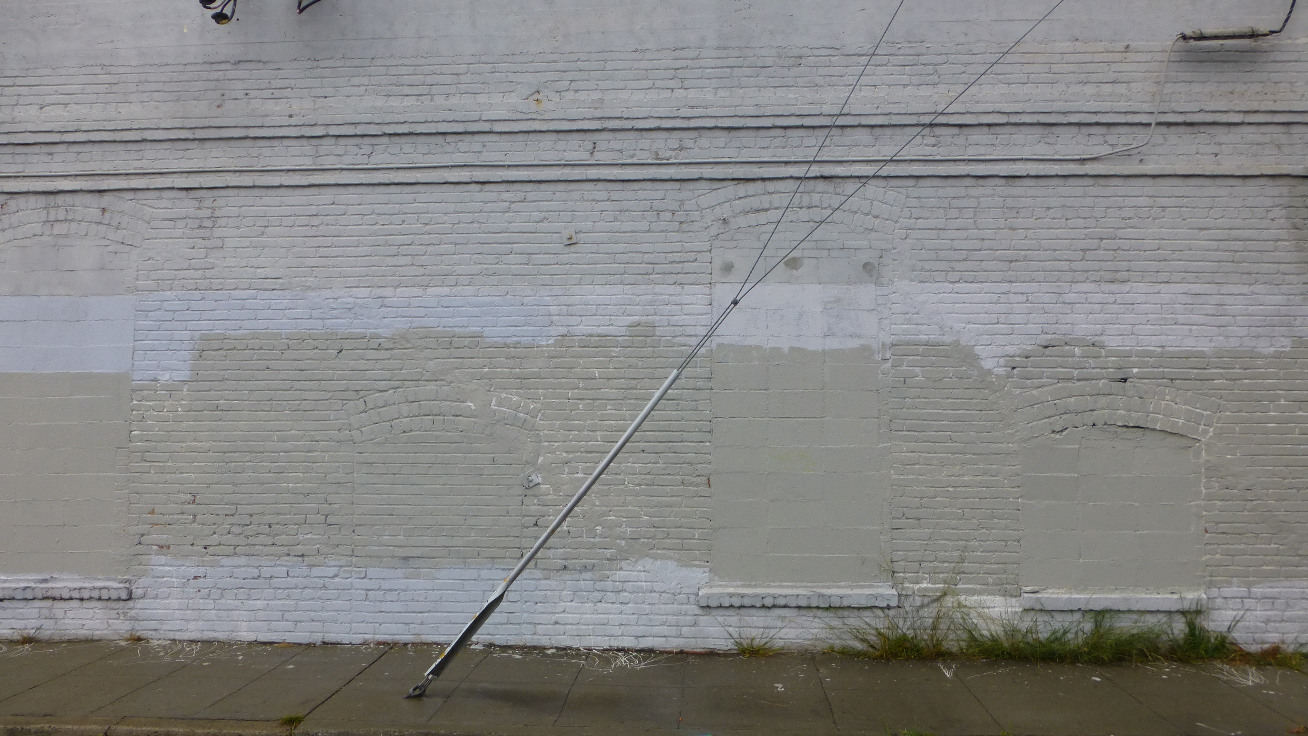
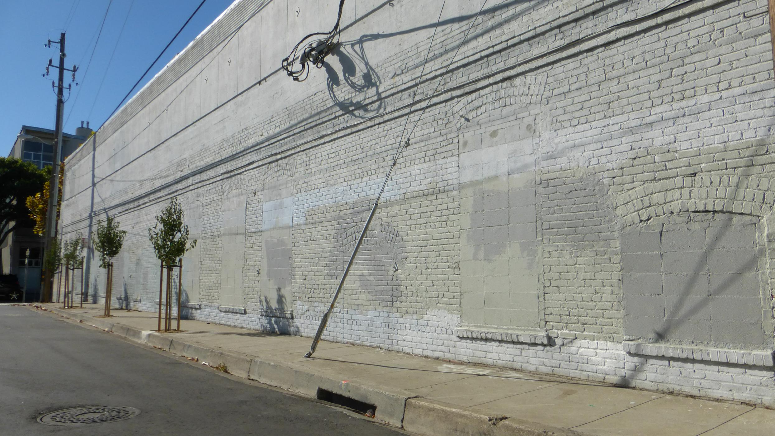
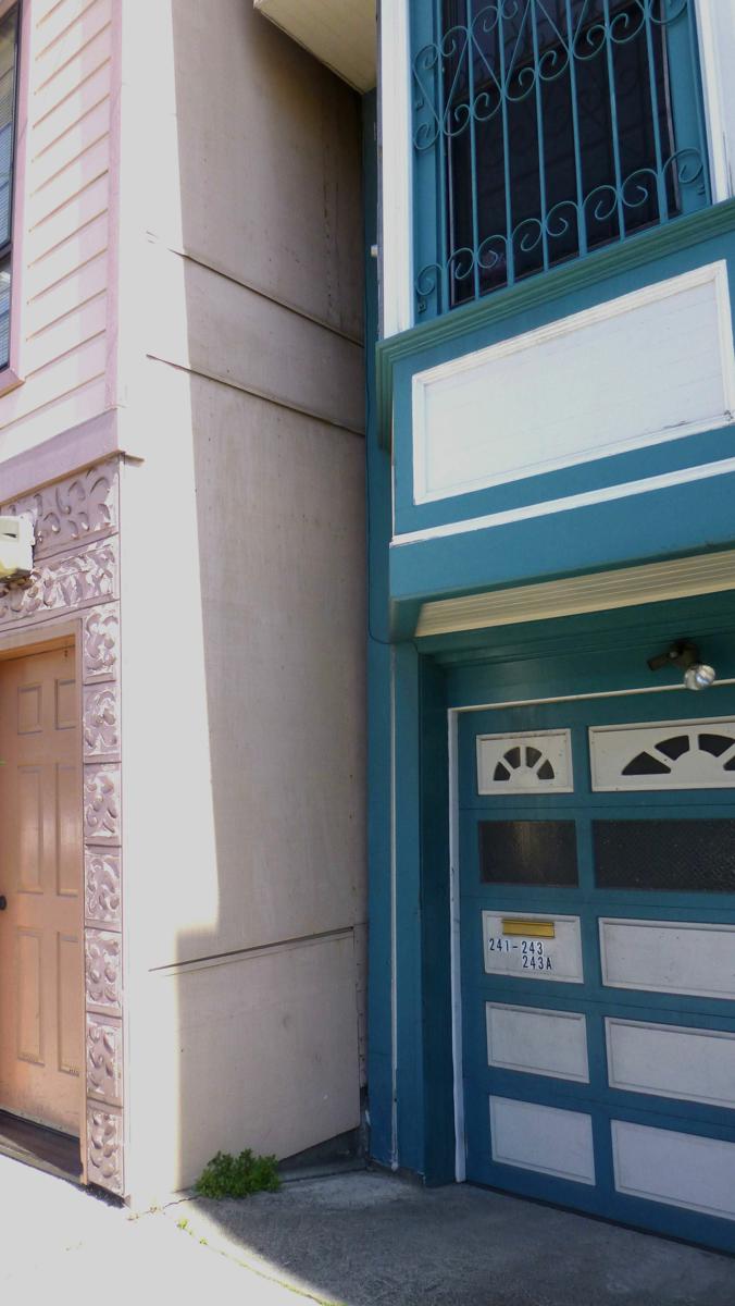
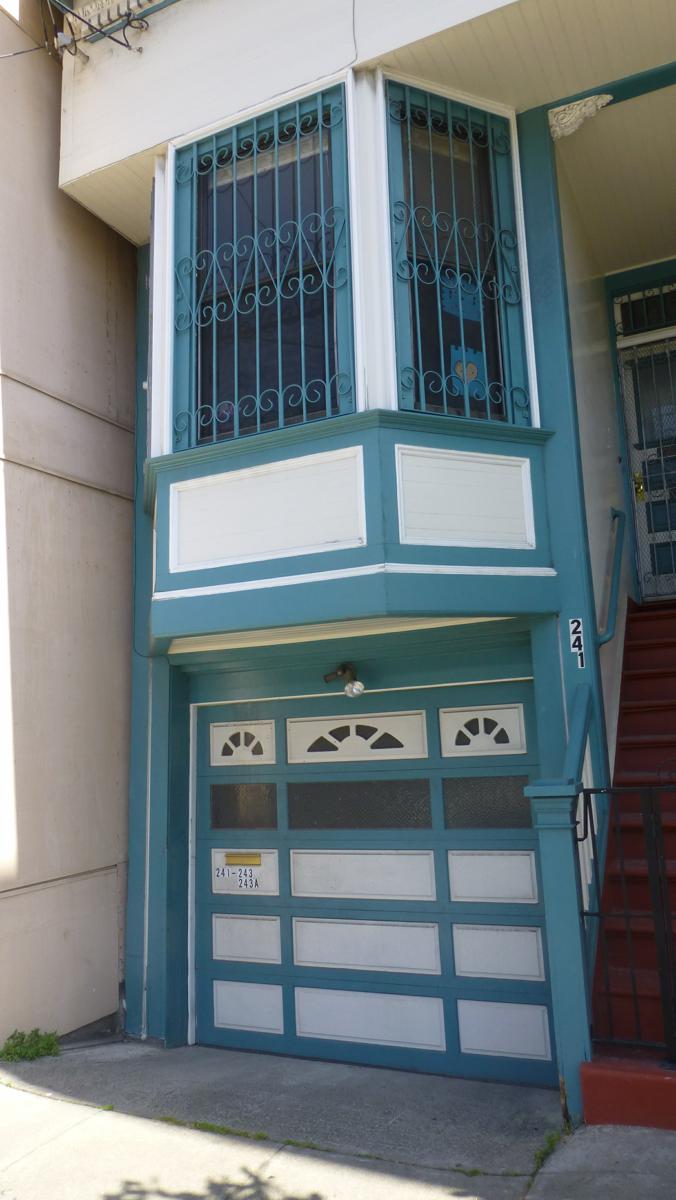
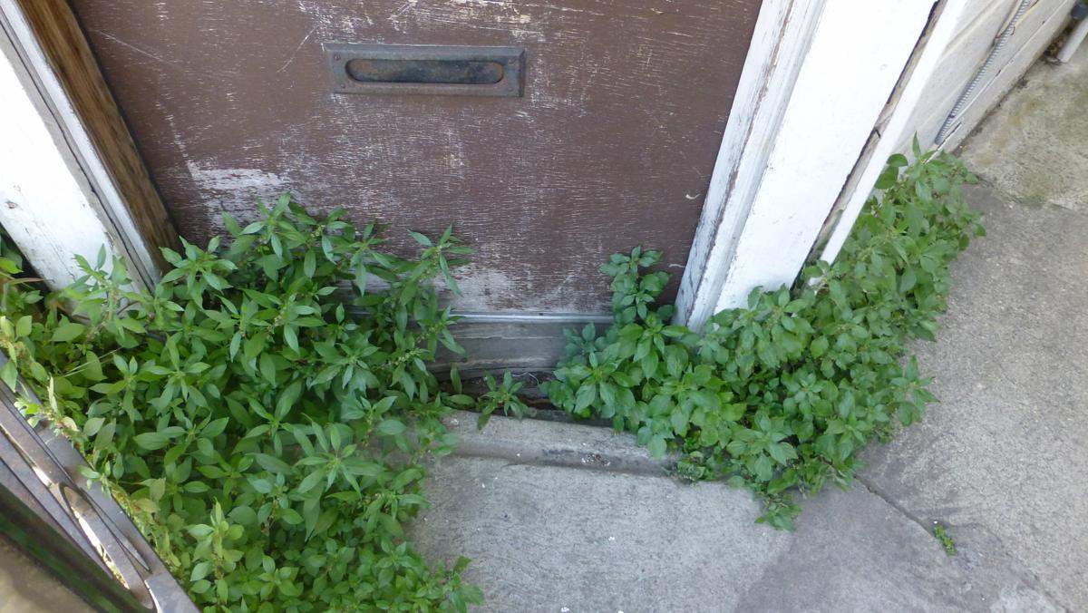
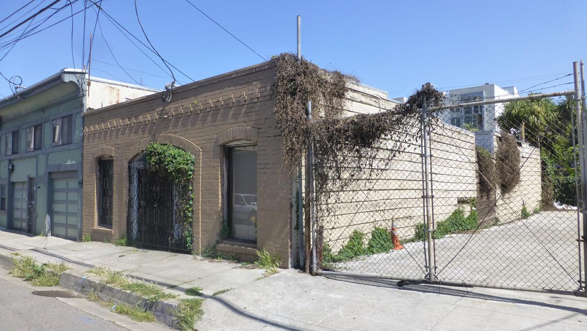
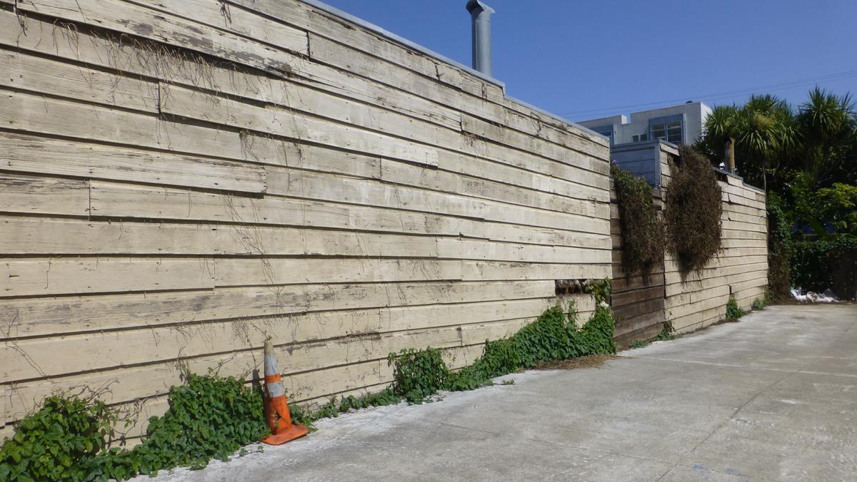
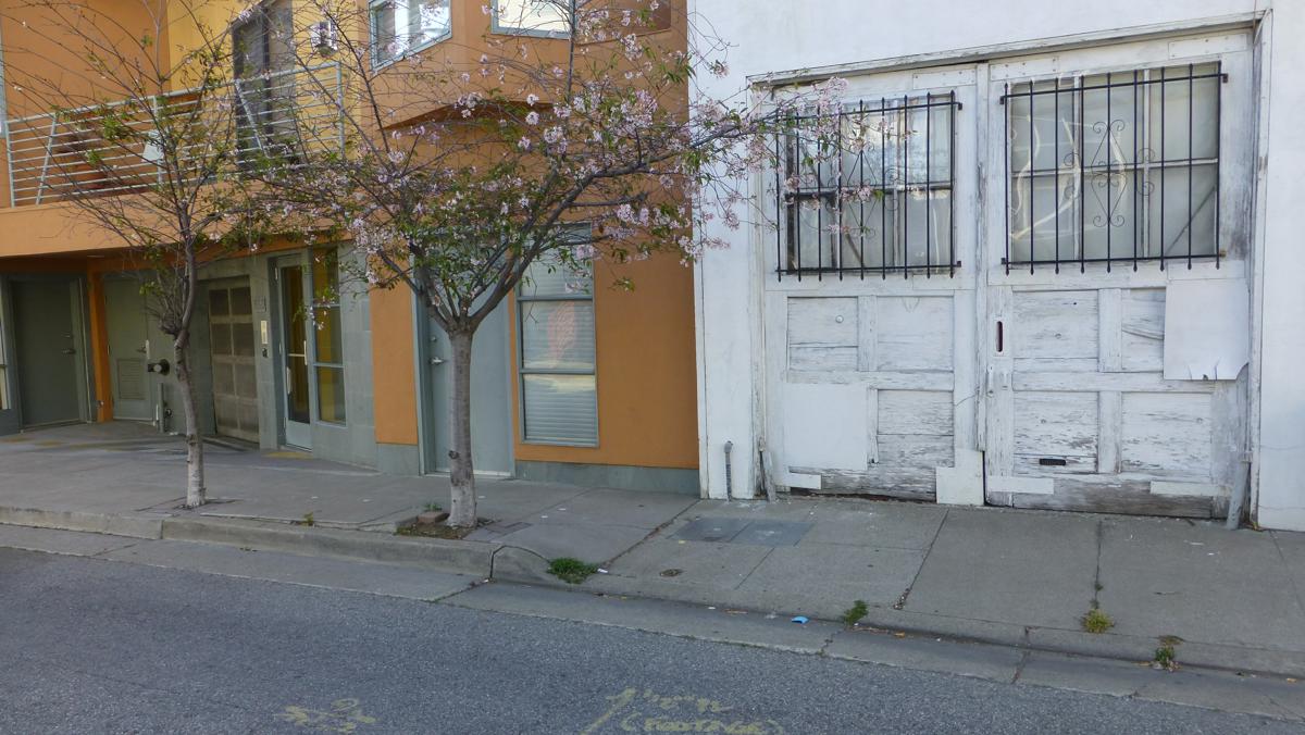
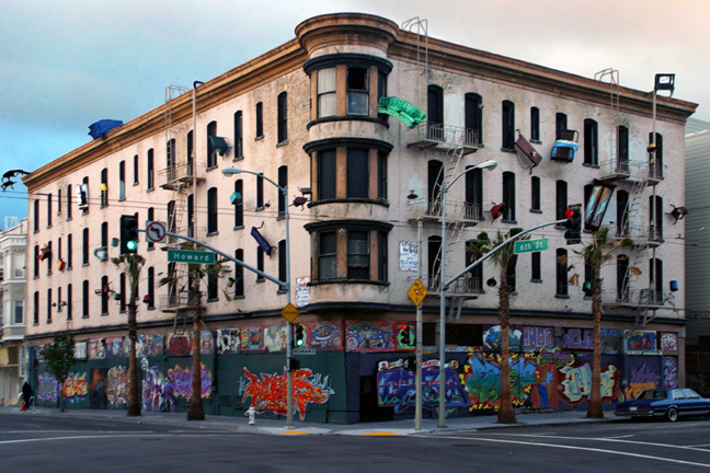
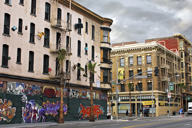
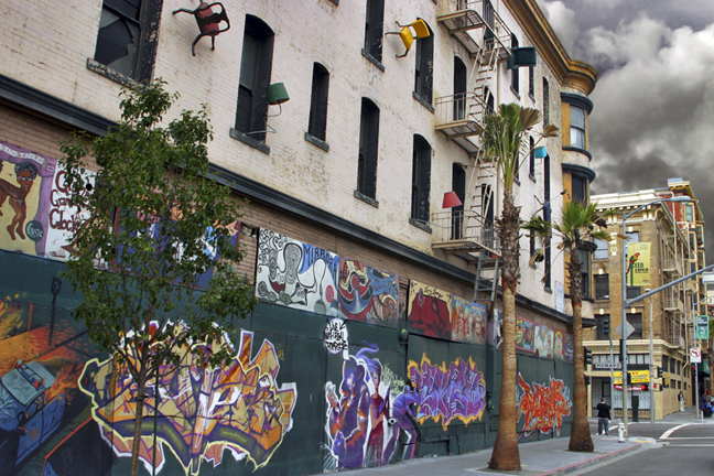
| 351-367 6th Street, corner of Clara Street, 2013 | 351-367 6th Street, oblique of side along Clara Street, 2013 | 351-367 6th Street, side
along Clara Street w/filled fenestration, 2013 |
 |
 |
|
|
|
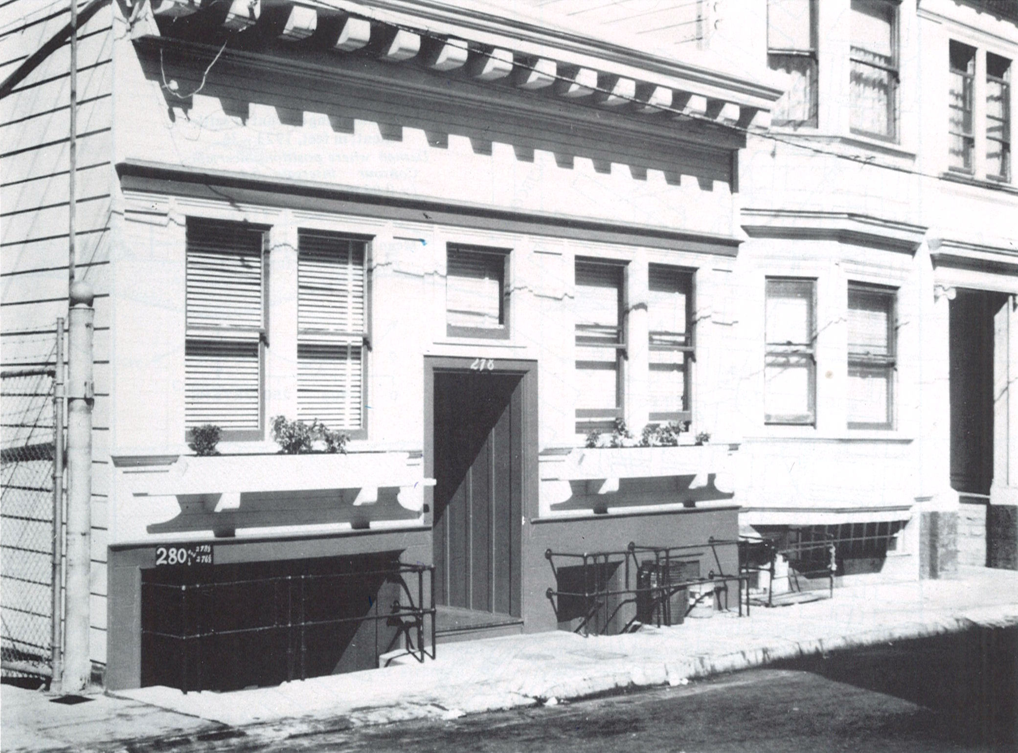
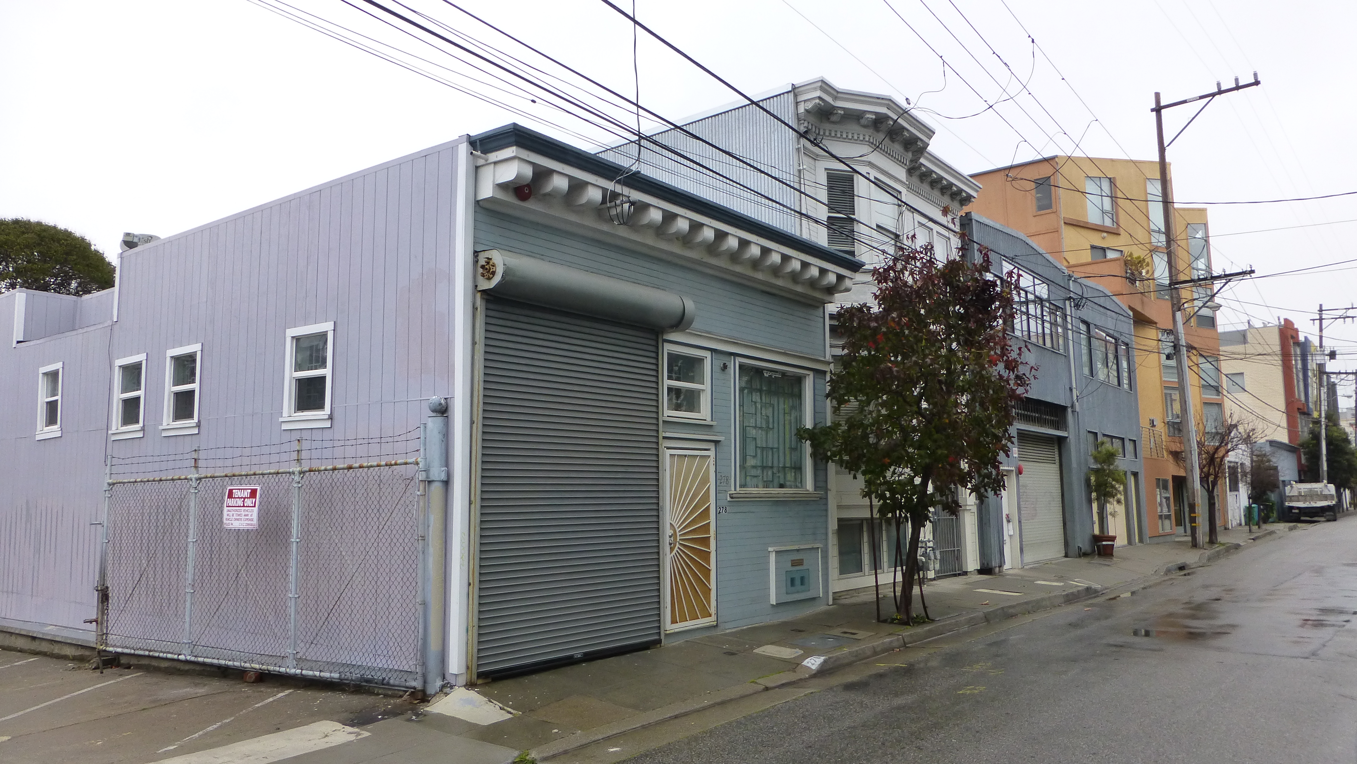
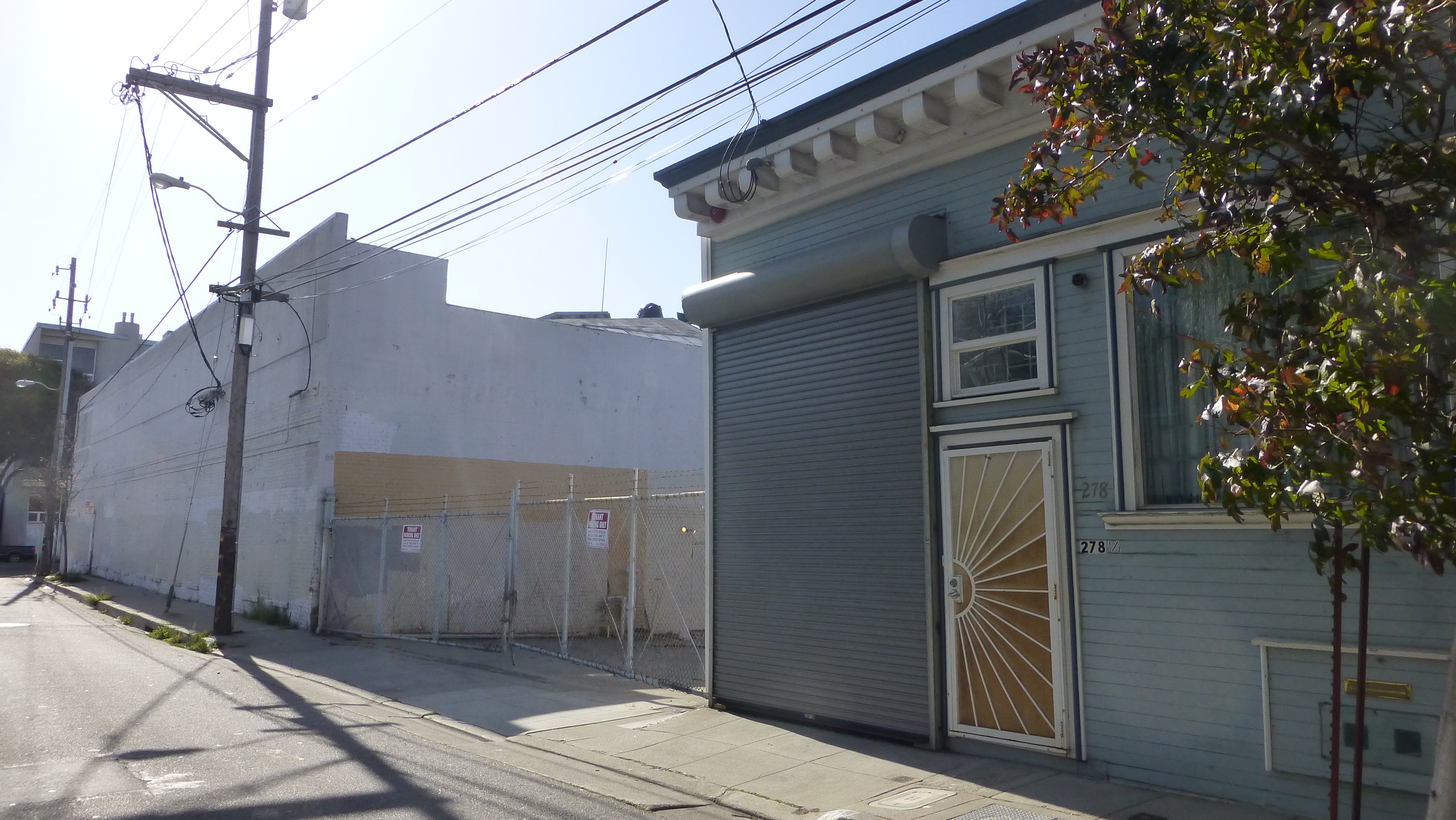
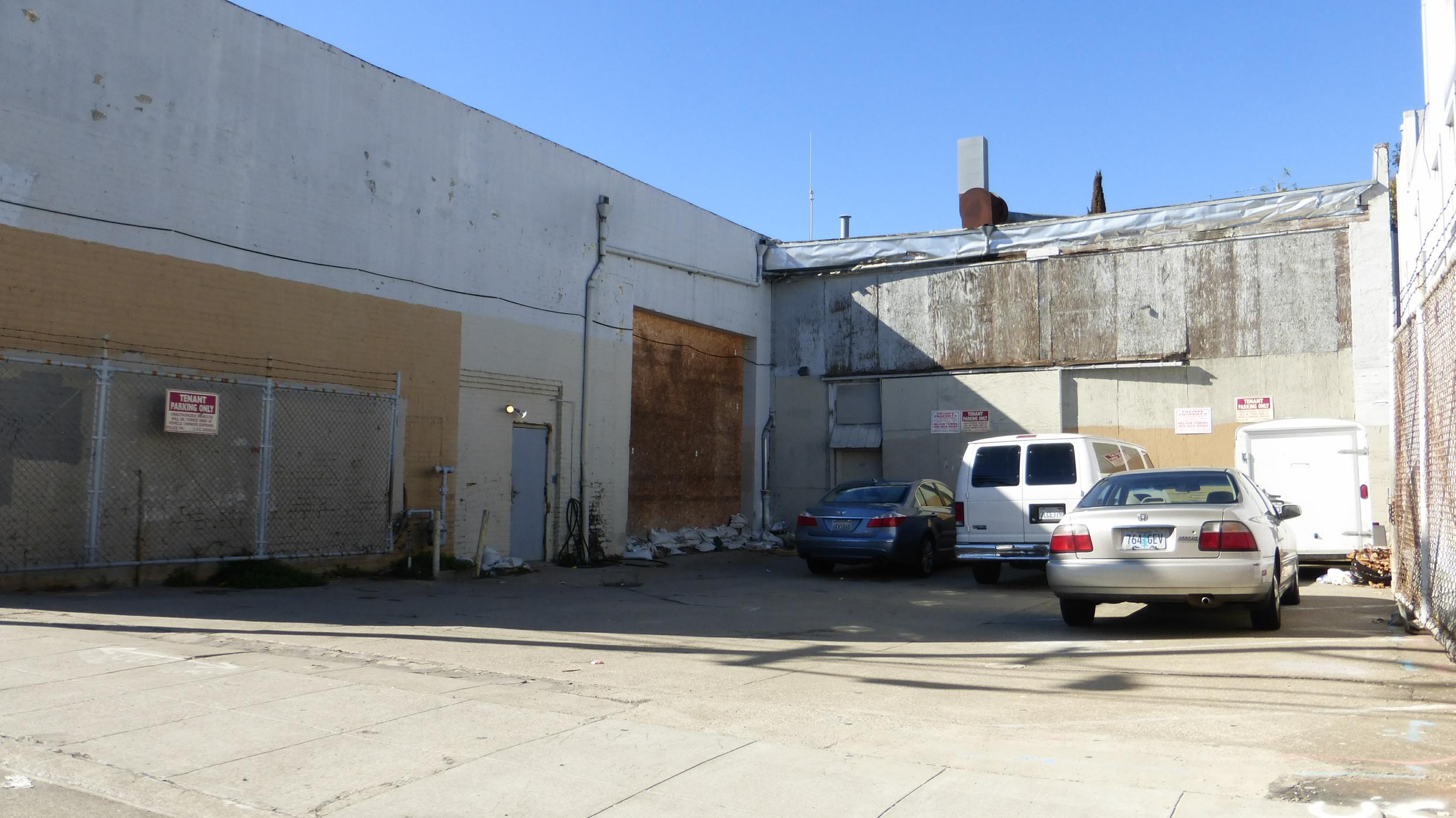
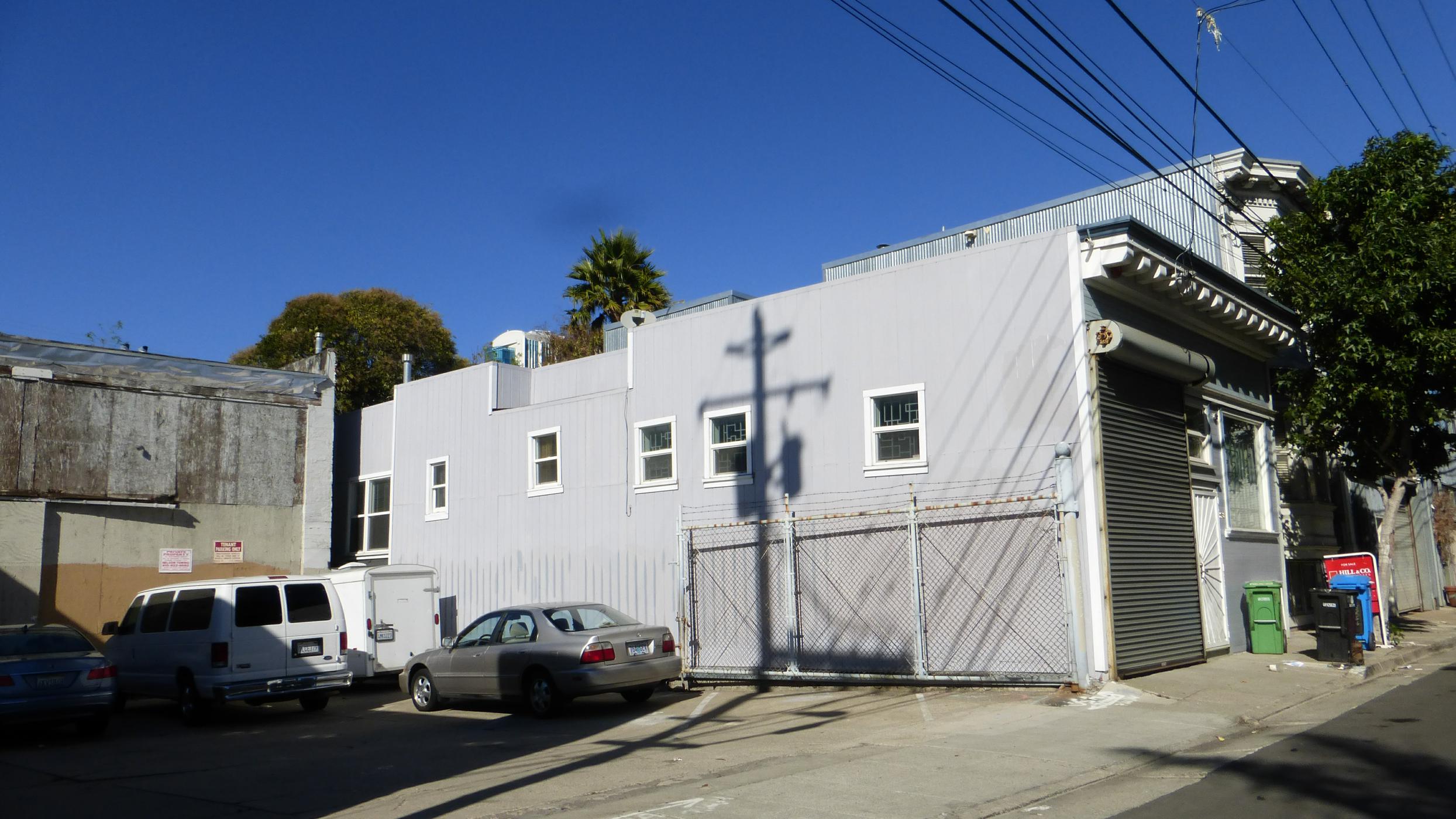
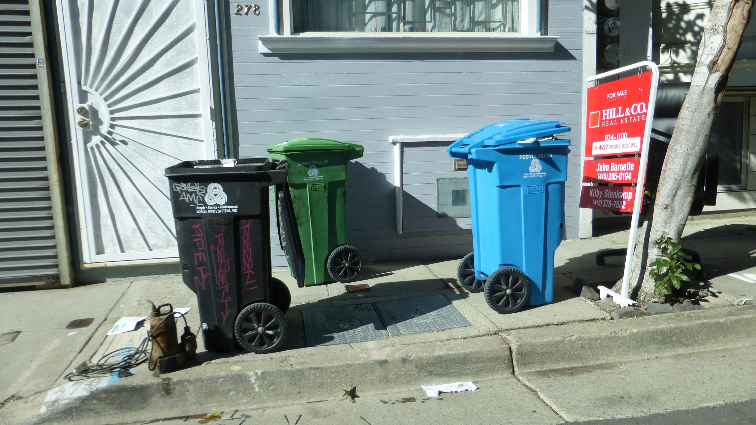
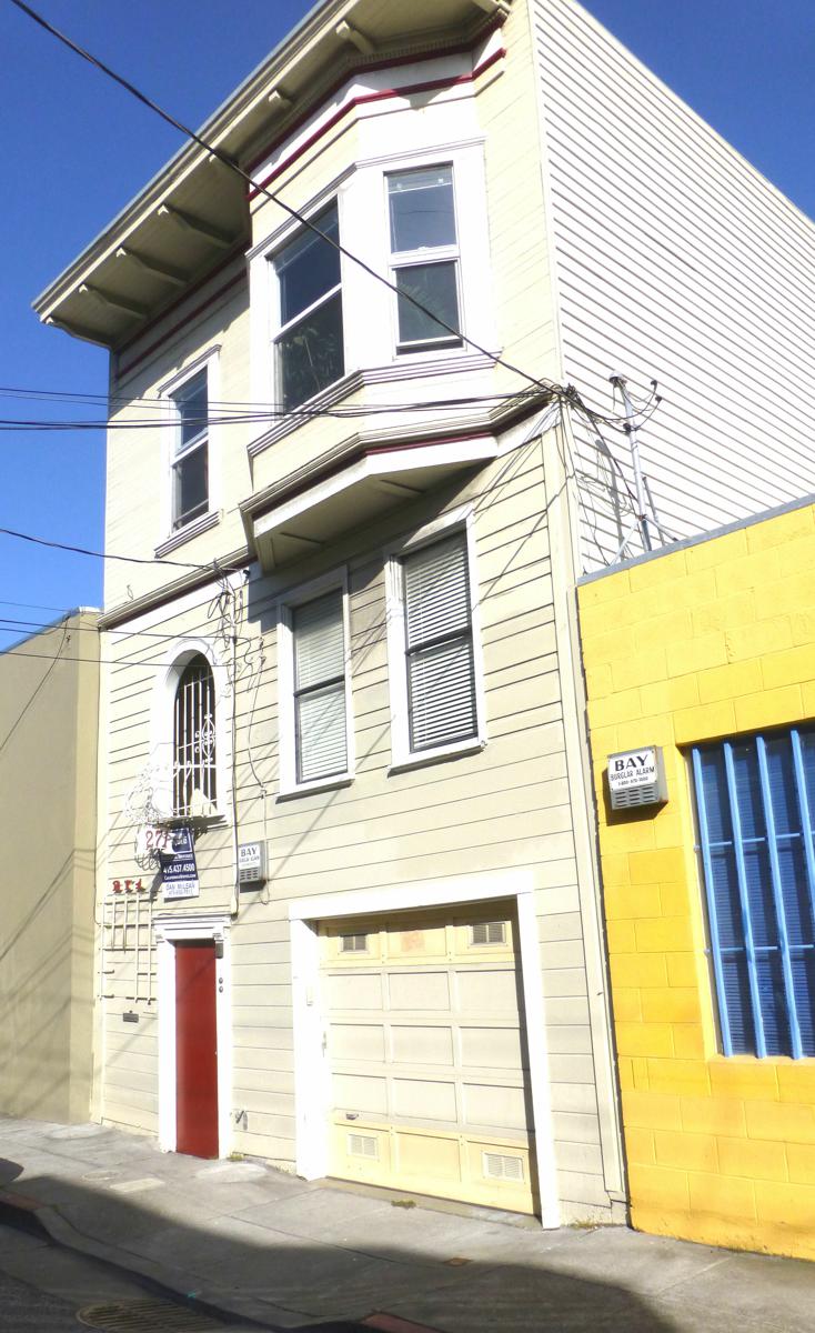
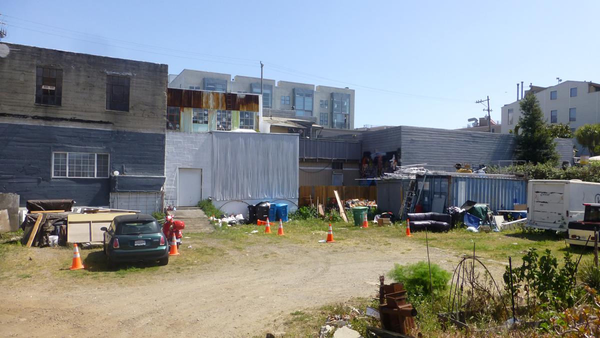
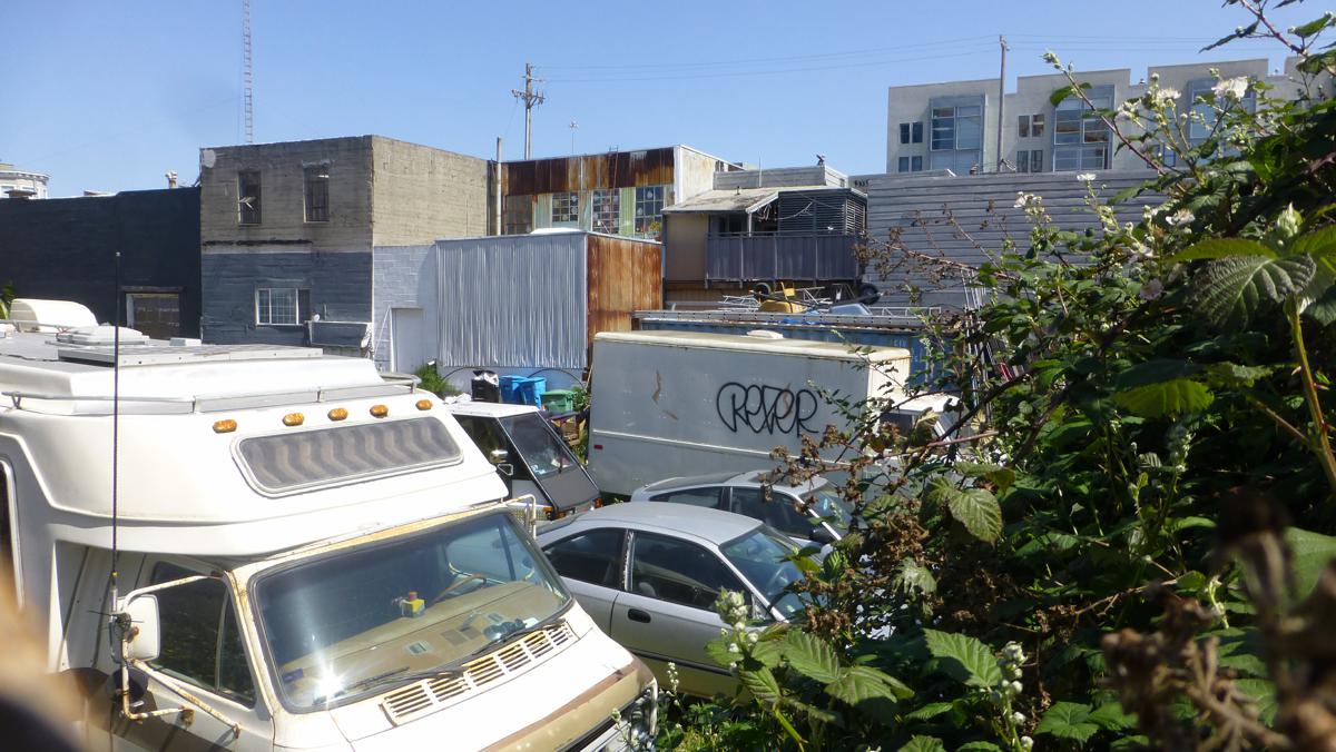
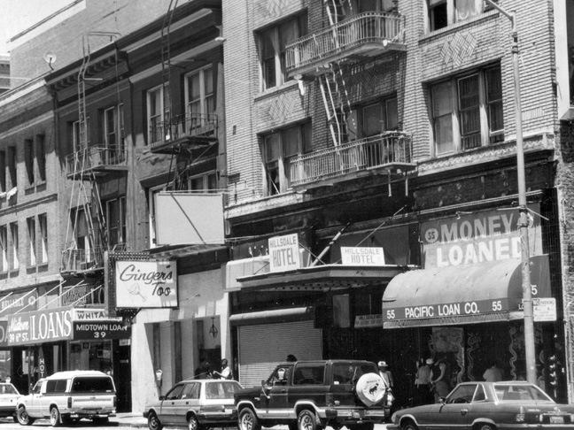
| 278 Clara Street, 1966 | 278 Clara Street, 2013 | 351-367 6th Street & 278 Clara Street, 2013 |
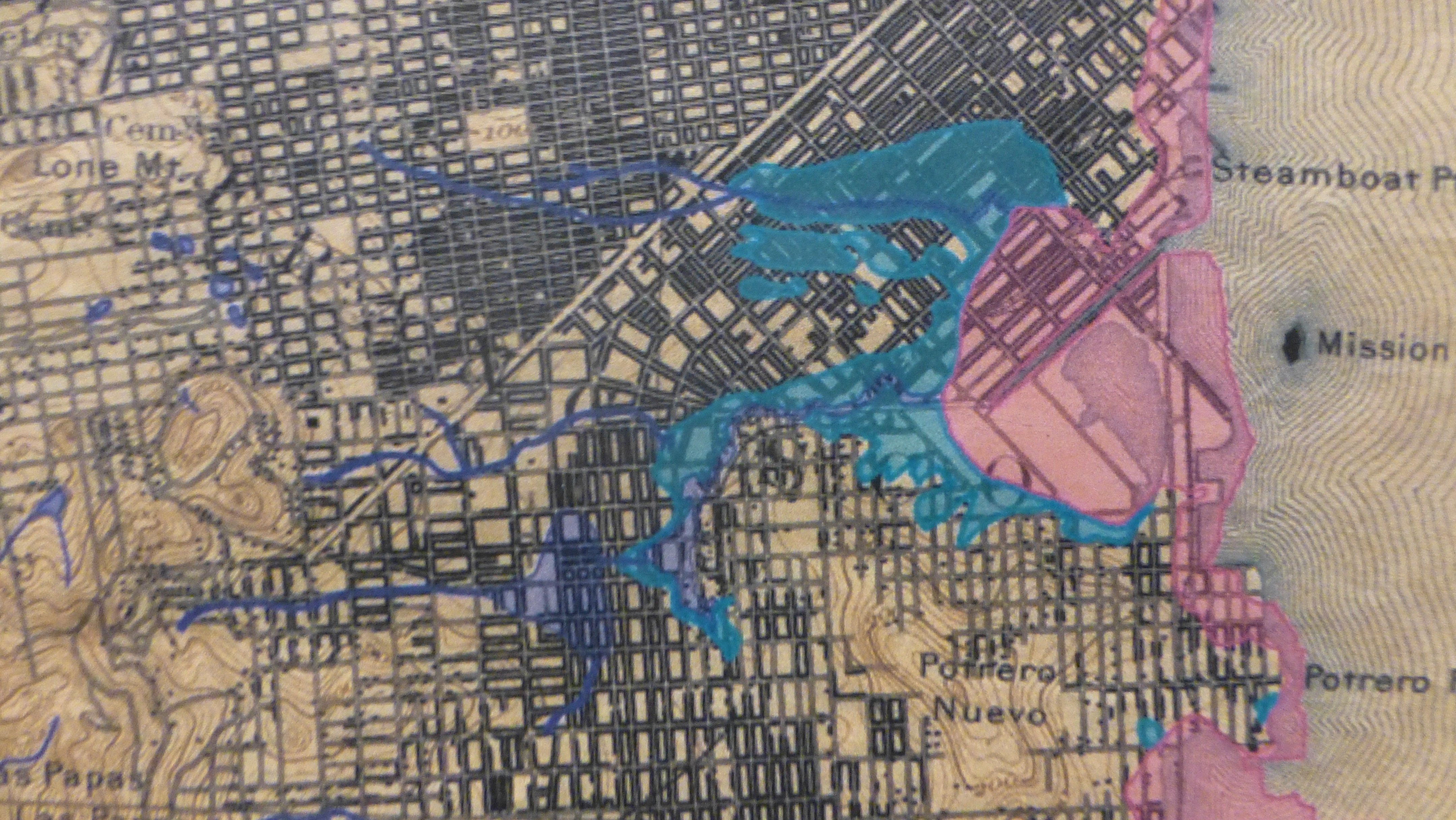   |
| Mission Swamp: Original
shoreline & subsidence area prone to flooding
(Composites) |
   |
   |
      |
   |
   |
   |
    |
|
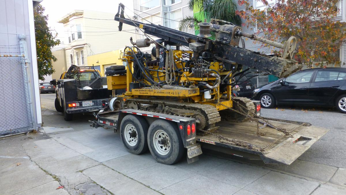
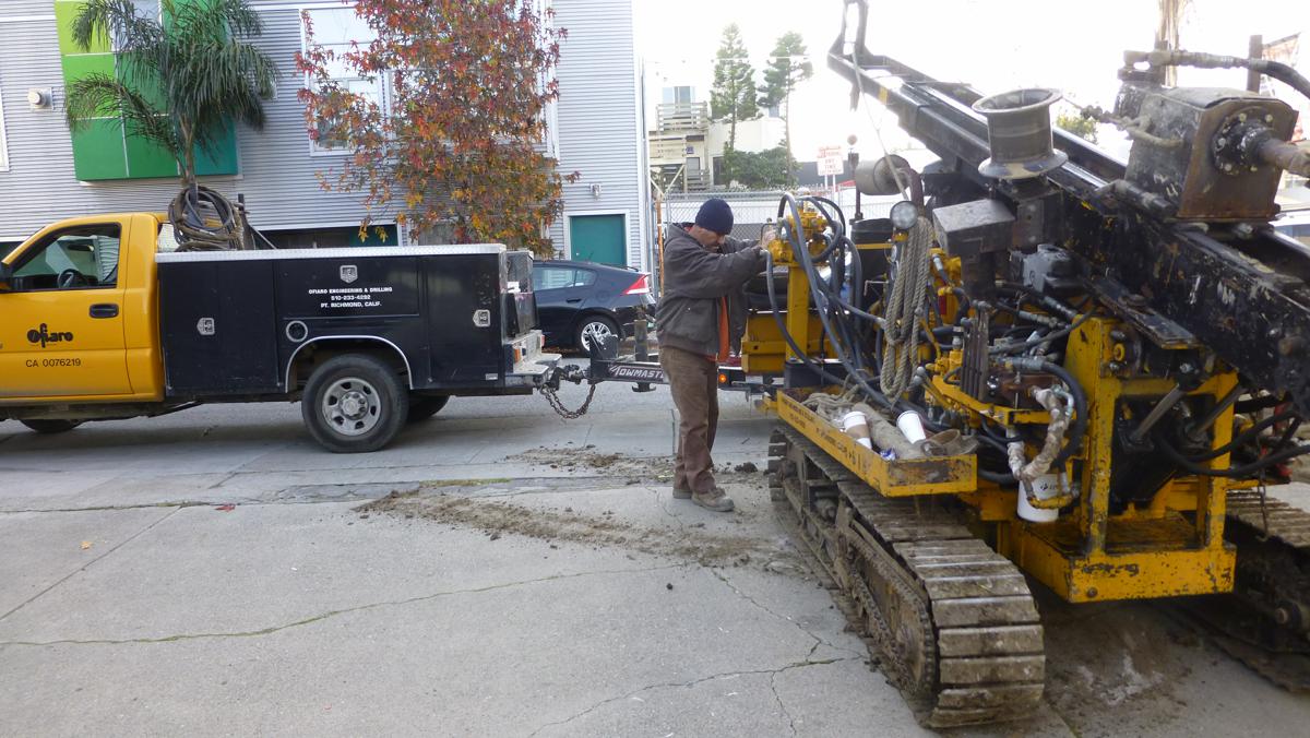
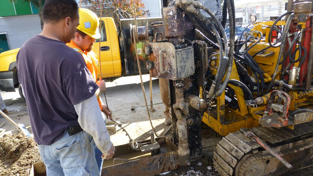
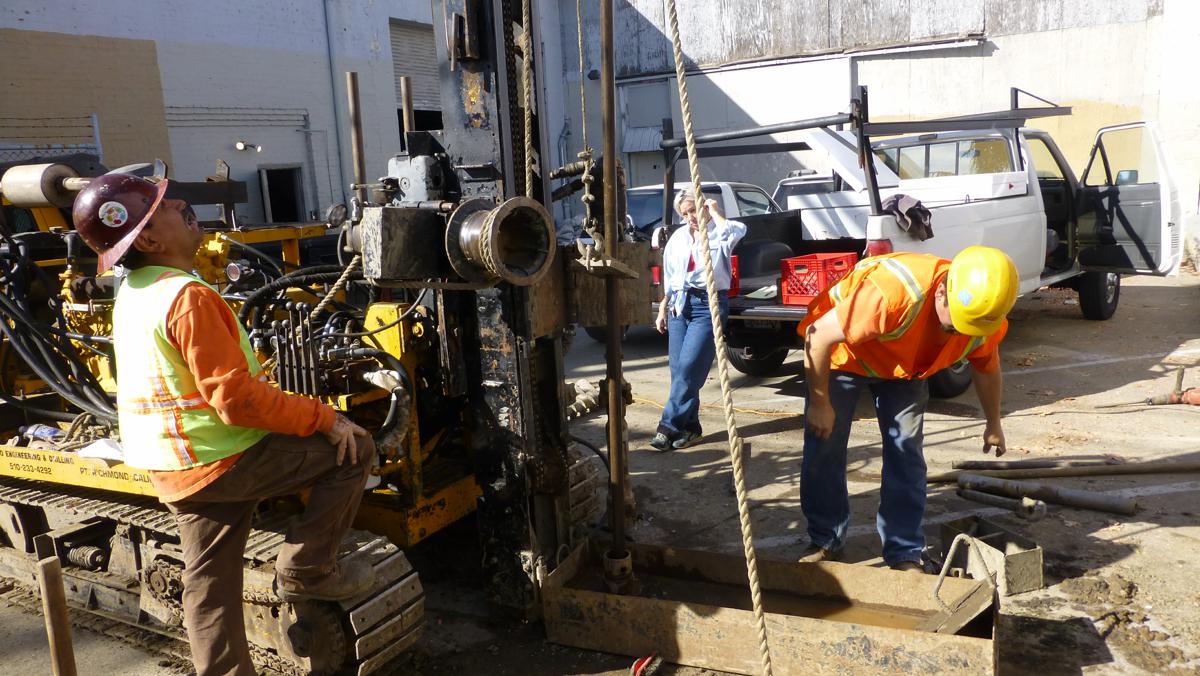
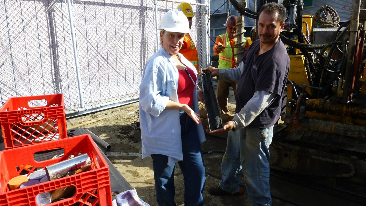
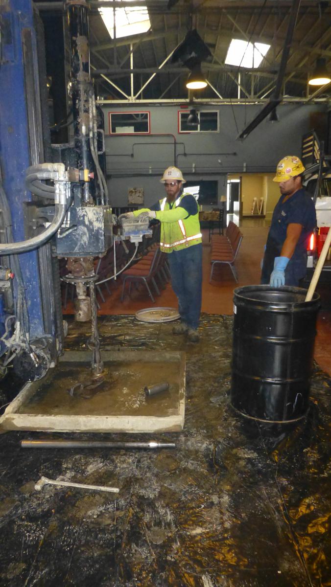
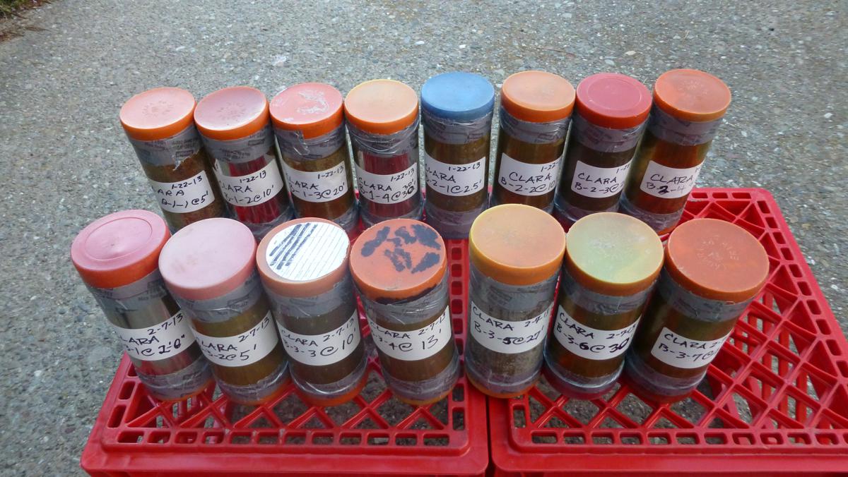
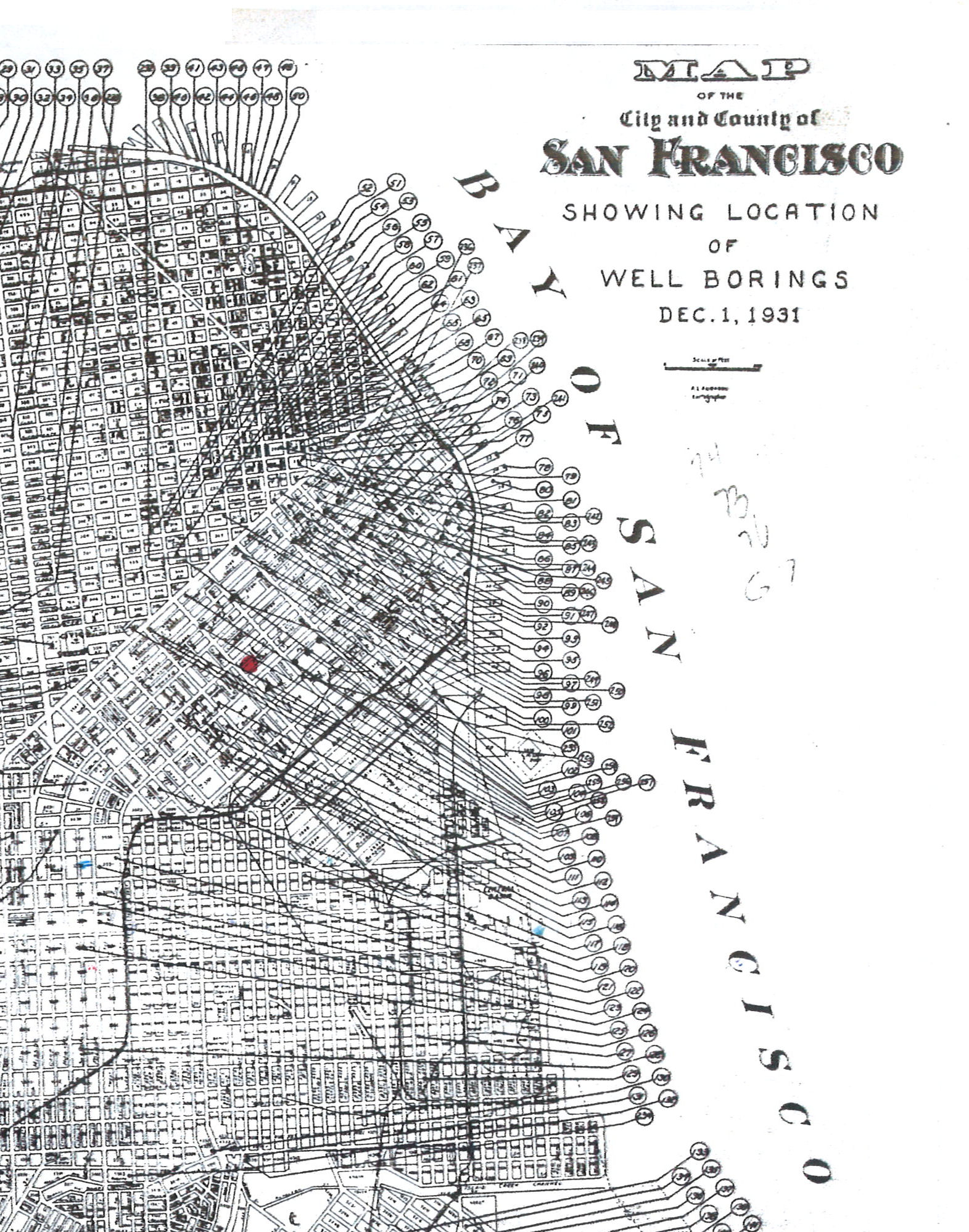
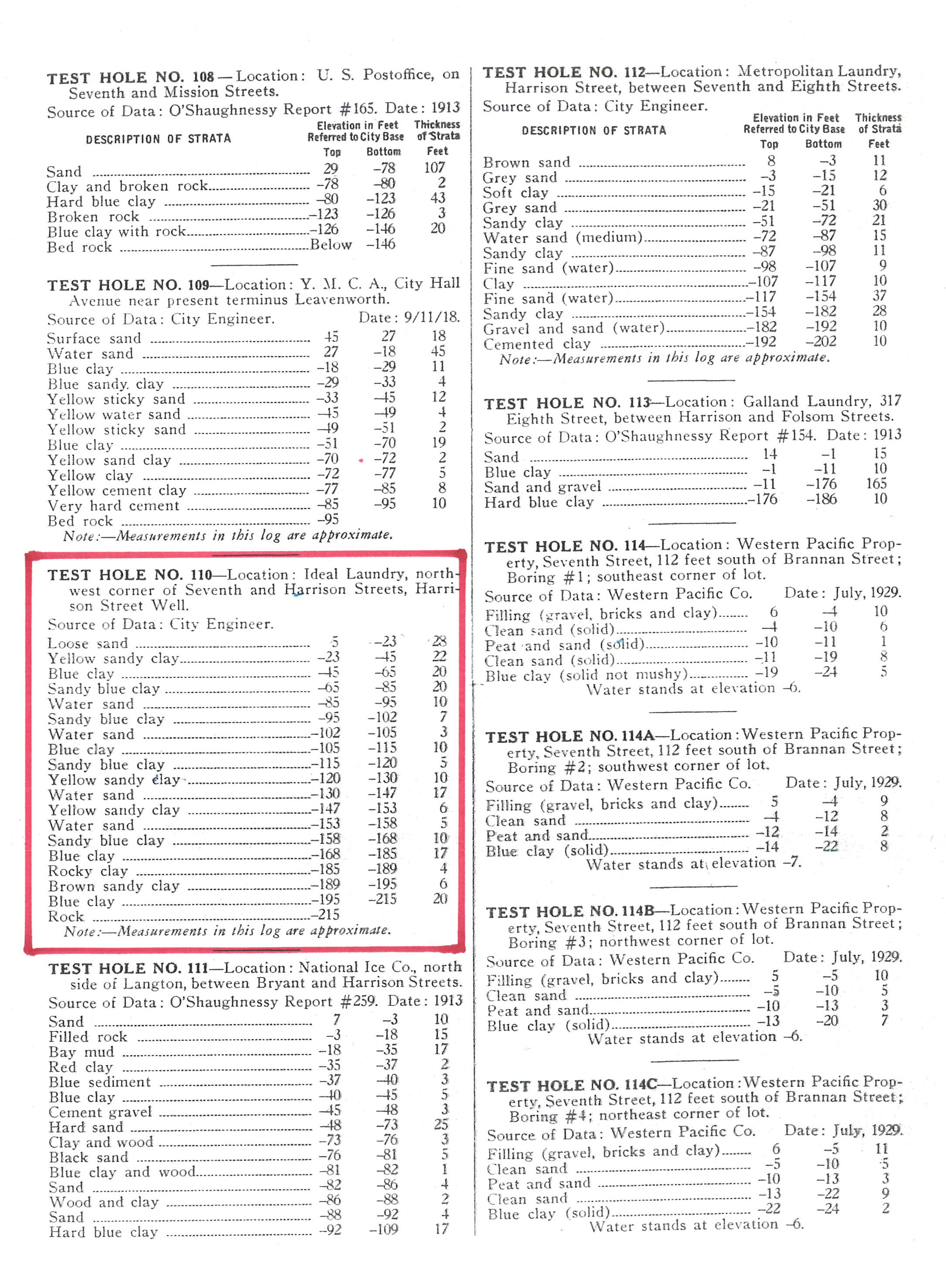
| Borings 1931-1978 |
Boring 2013 |
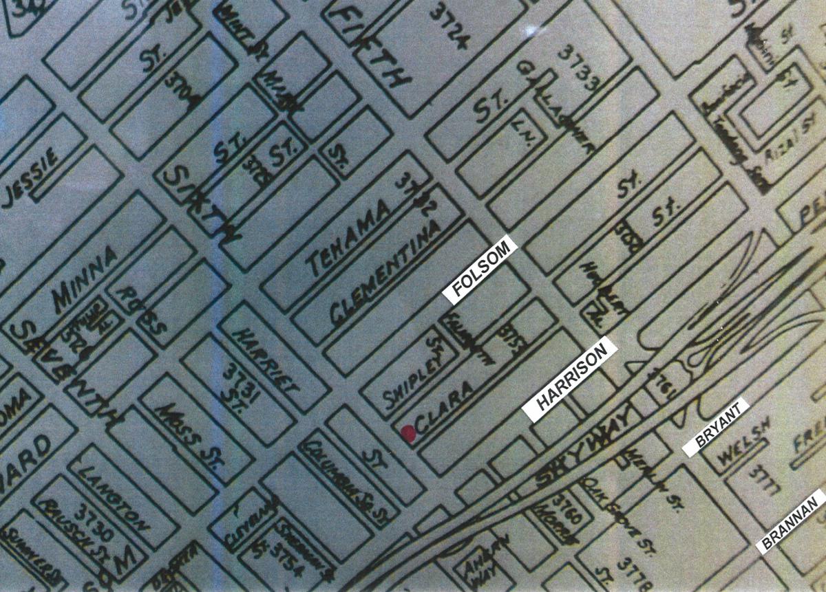
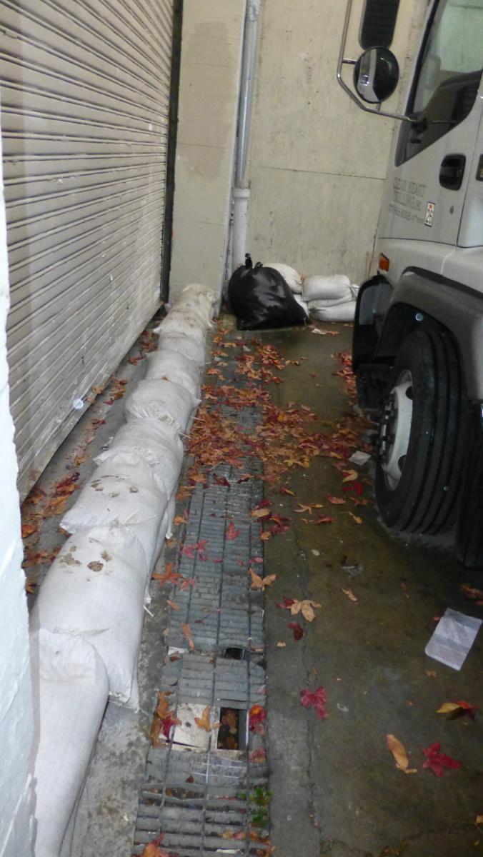
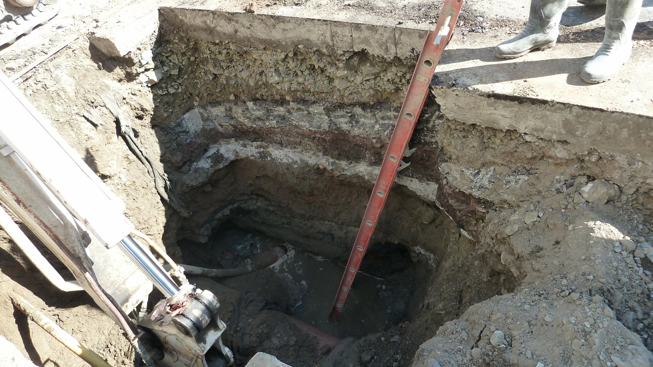
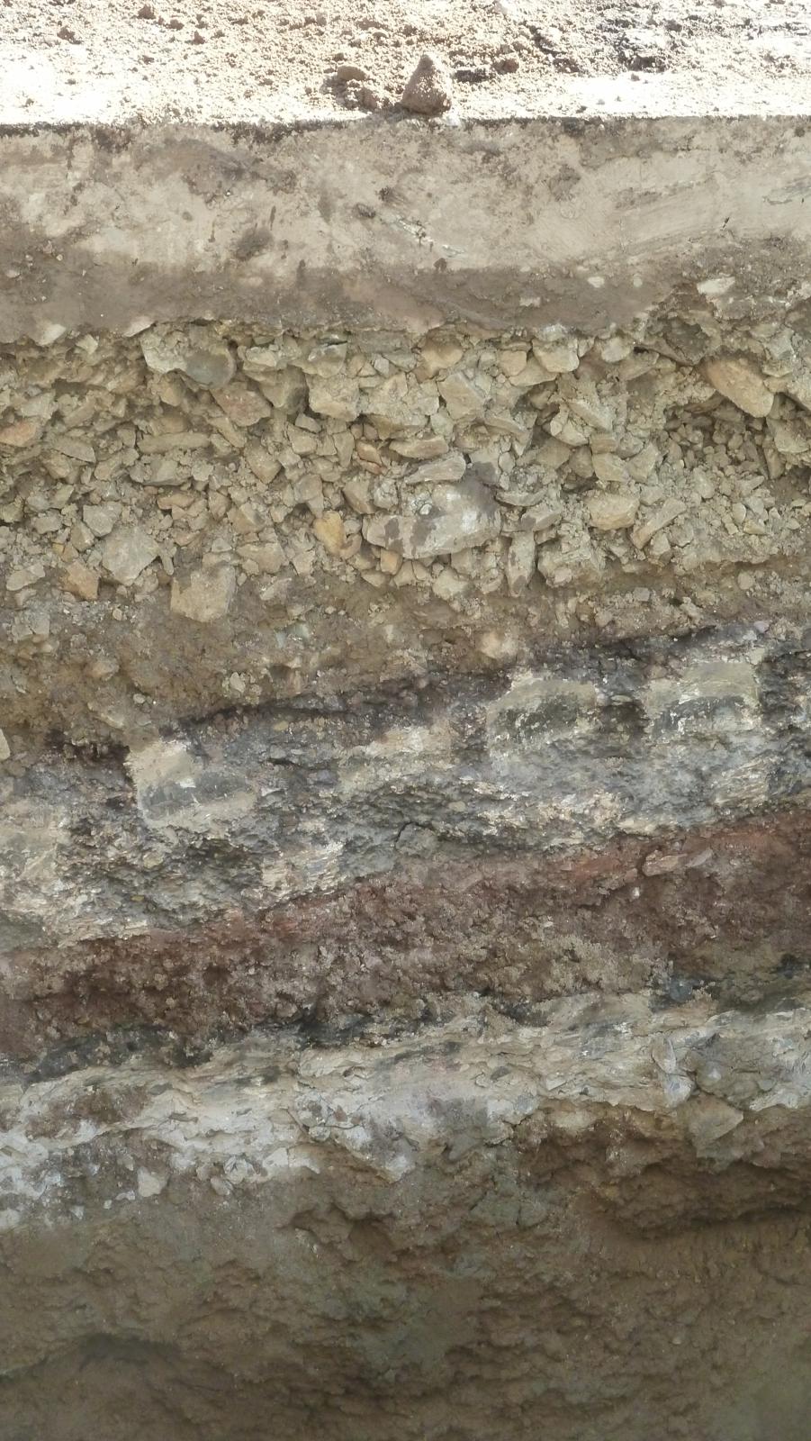
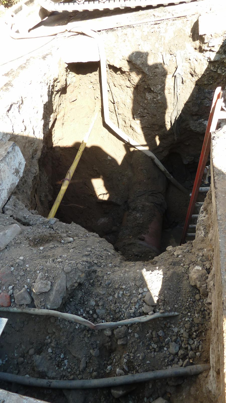
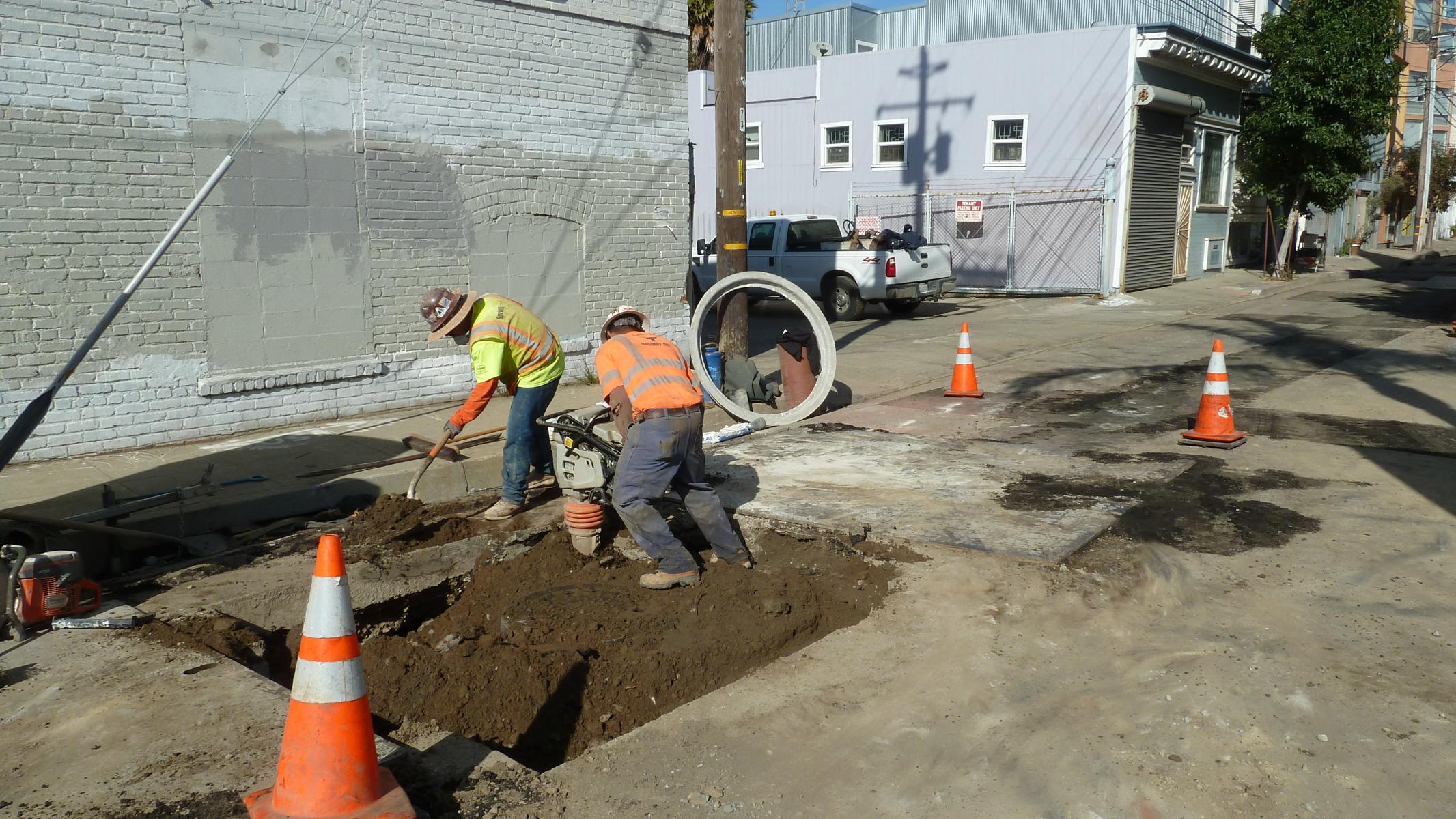
| Clara Street Near 6th
Street - Sewer Repair |
     |
||||
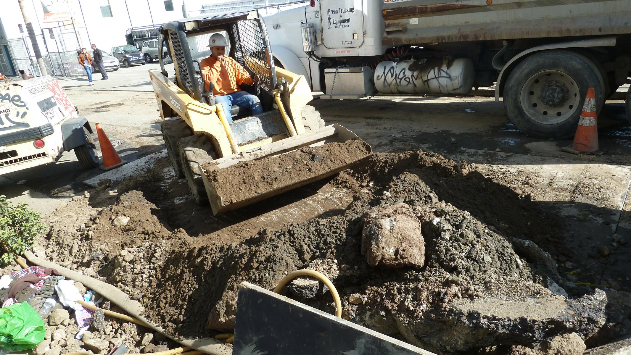
| Multiple Sunken Street Pavements Along Building on Clara Street Exposed 11/3/14 |
| Clara Street Near 6th
Street |
    |
| Site Conditions Along Clara Street 11/3/15 |
| Shipley & Clara Streets |
       |
    |
   |
   |
| 6th Street |
    |
    |
    |
    |
   |
     |
     |
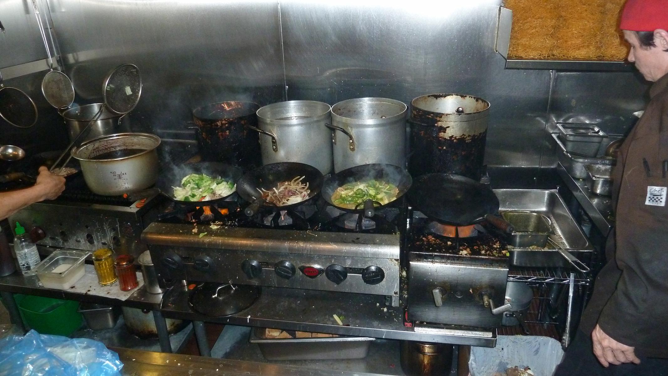 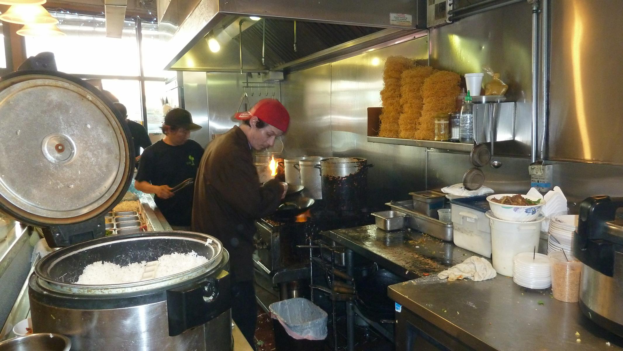  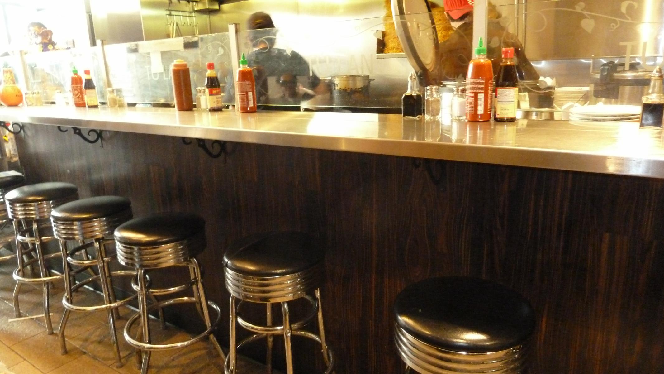 |
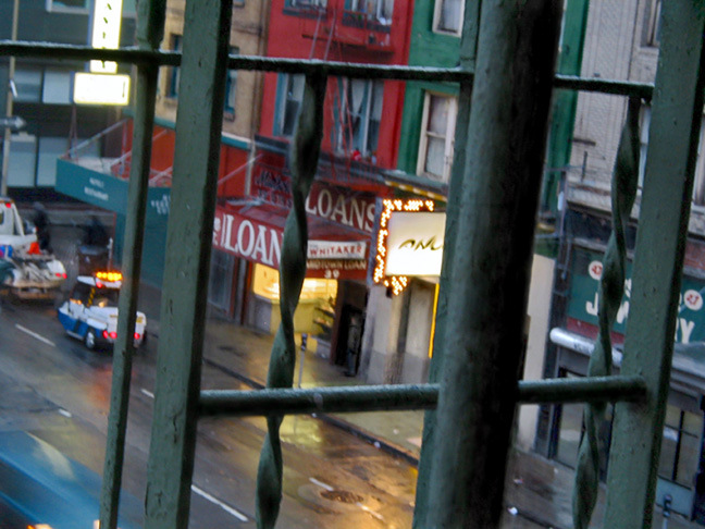
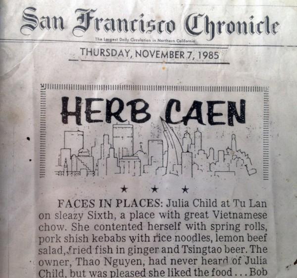
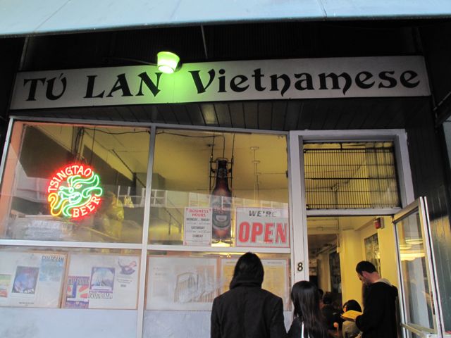
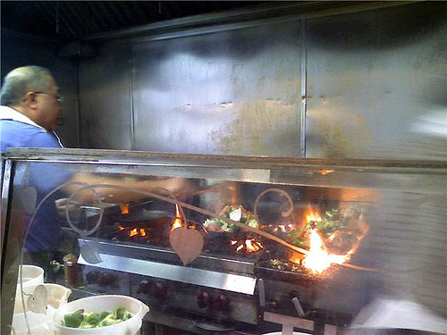
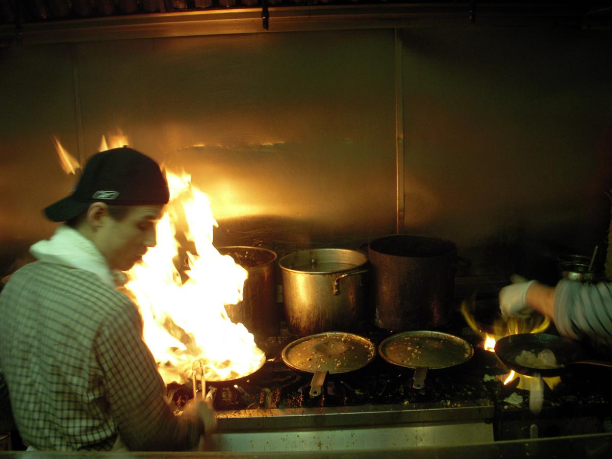
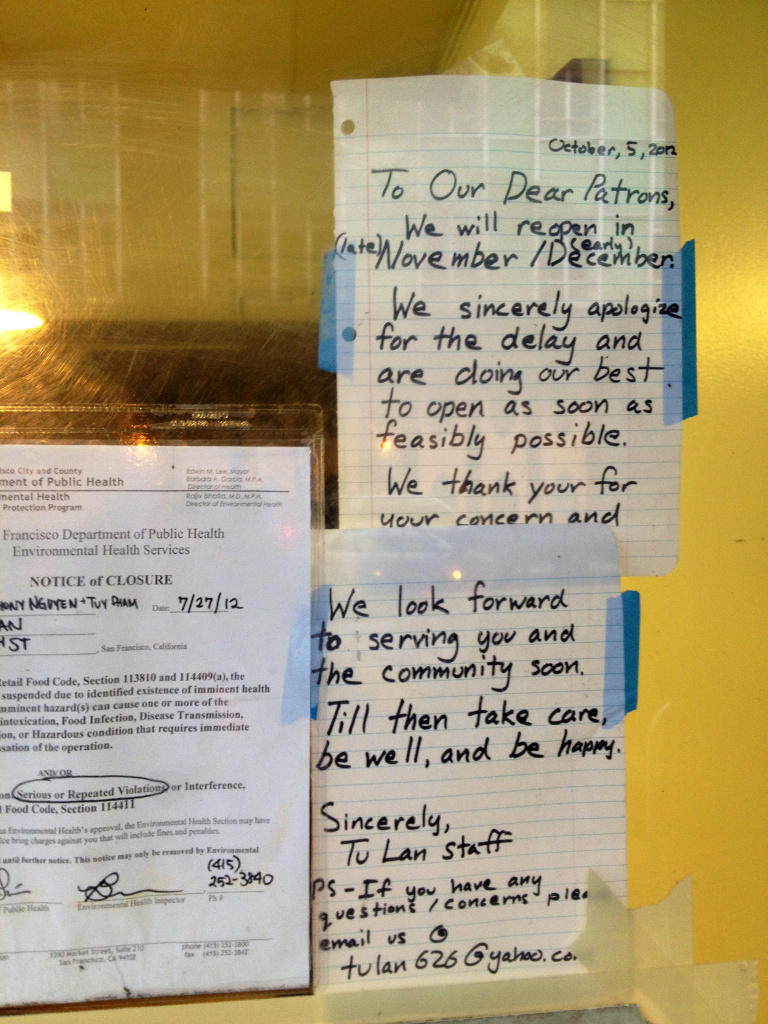
| Tu Lan |